
Length 100 km | ||
 | ||
State Route 26 (SR 26) is a state highway in the U.S. state of California, running from Stockton to State Route 88 near Pioneer.
Contents
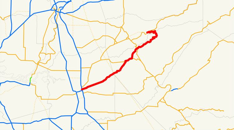
Map of CA-26, California, USA
Route description
This route is part of the California Freeway and Expressway System.
The route begins at an interchange with SR 99 in eastern Stockton. SR 26 then exits Stockton after crossing a canal and heads eastward. After crossing Jack Tone Road, the direction of the highway turns slightly more northeasterly. The road then briefly enters the city of Linden, before intersecting Escalon-Bellota Road. Following another intersection with Jenny Lind Road, the route enters the city of Rancho Calaveras. It turns slightly more northeastward as it passes through the area. The highway passes by the New Hogan Lake before entering Valley Springs. Here, the route makes an abrupt right turn onto SR 12. The route run concurrent and turn back northeastward as they exit Valley Springs. Shortly after exiting the city limit, SR 26 veers away from SR 12 and heads north. East of Paloma, the roadway meets Paloma Road and again turns northeastward. At Mokelumne Hill, the route intersects SR 49, taking a slightly more winded path. SR 26 enters and exits the city of West Point before making an extremely long hairpin turn. Heading westward, the route enters Amador County to its terminus at SR 88.
The segment between the community of Mokelumne Hill and West Point is named the Stephen P. Teale Highway. Bridge 30-0052, crossing the Middle Fork of the Mokelumne River, near West Point, is named the Tom Taylor Bridge.
History
CA 26 was formerly known as California State Route 8 in 1934–1964. It bears no relation to the pre-1964 highway in Southern California that today is Interstate 10.
Major intersections
Except where prefixed with a letter, postmiles were measured on the road as it was in 1964, based on the alignment that existed at the time, and do not necessarily reflect current mileage. R reflects a realignment in the route since then, M indicates a second realignment, L refers an overlap due to a correction or change, and T indicates postmiles classified as temporary (for a full list of prefixes, see the list of postmile definitions). Segments that remain unconstructed or have been relinquished to local control may be omitted. The numbers reset at county lines; the start and end postmiles in each county are given in the county column.