
Length 13.95 km | ||
 | ||
East end: US 395 near Mammoth Lakes | ||
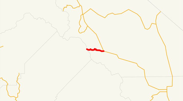
State Route 203 is a state highway within Mono County, California, United States. It runs from the Mono-Madera County line (Minaret Summit) to U.S. Route 395 passing through the town of Mammoth Lakes.
Contents
Map of CA-203, Mammoth Lakes, CA 93546, USA
Within Mammoth Lakes, State Route 203 is known as both "Minaret Road" and "Main Street." It connects to Lake Mary and the Mammoth Scenic Loop via secondary roads.
Route description
The route begins at Minaret Summit at Devils Postpile National Monument. It then heads east to Mammoth Scenic Loop Road, where it continues at shortly enters the town of Mammoth Lakes, where it is known as both "Minaret Road" and "Main Street". It continues east to its end at U.S. Route 395.
Major intersections
Except where prefixed with a letter, postmiles were measured on the road as it was in 1964, based on the alignment that existed at the time, and do not necessarily reflect current mileage. R reflects a realignment in the route since then, M indicates a second realignment, L refers an overlap due to a correction or change, and T indicates postmiles classified as temporary (for a full list of prefixes, see the list of postmile definitions). Segments that remain unconstructed or have been relinquished to local control may be omitted. The entire route is in Mono County.