
- location below Watts Pinnacle - location north of Millamolong | - elevation 968 m (3,176 ft) - elevation 450 m (1,476 ft) | |
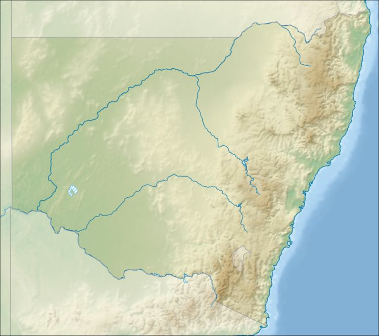 | ||
The Cadiangullong Creek, a mostly–perennial river that is part of the Lachlan sub-catchment of the Murrumbidgee catchment within the Murray–Darling basin, is located in the Central West region of New South Wales, Australia.
Contents
Map of Cadiangullong Creek, New South Wales, Australia
Course and features
The Cadiangullong Creek (technically a river) rises on the slopes of Mount Canobolas below Watts Pinnacle, and flows generally south by west before reaching its confluence with the Belubula River north of the settlement of Millamong. The creek descends 494 metres (1,621 ft) over its 27-kilometre (17 mi) course.
References
Cadiangullong Creek Wikipedia(Text) CC BY-SA