
- elevation 144 ft (44 m) Length 132 km Source Ouachita Mountains Country United States of America | - elevation 1,400 ft (427 m) - average 267 cu ft/s (8 m/s) Discharge 7.561 m³/s | |
 | ||
- max 28,600 cu ft/s (810 m/s) Cities Glenwood, Arkadelphia, Caddo Gap, Caddo Valley, Amity, Norman, Black Springs | ||
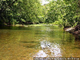
The Caddo River is a tributary of the Ouachita River in the U.S. state of Arkansas. The river is about 82 miles (132 km) long.
Contents
Map of Caddo River, Caddo, AR, USA
Course
The Caddo River flows out of the Ouachita Mountains through Montgomery, Pike, and Clark counties in Arkansas before flowing into DeGray Lake and then to its terminus at the Ouachita River north of Arkadelphia, Arkansas.
The upper Caddo is known as a good family canoeing river and is a popular destination for fishing. Smallmouth and spotted bass are found in quantity, as are longear and green sunfish. The lower course of the Caddo, below Degray Dam, is also a popular fishing and canoeing river, although the length of river remaining is only a few miles at that point.
Communities through which the Caddo River passes are:
Deadly flooding
On the night of June, 2010, a flash flood along the Caddo and Little Missouri Rivers killed twenty people.
Etymology
The Caddo River is named for the Caddo Indian tribes that, at one time, lived along its banks.