
 | ||
Cabin john creek trail
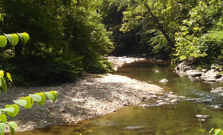
Cabin John Creek is a tributary stream of the Potomac River in Montgomery County, Maryland. The watershed covers an area of 26 square miles (67 km2). The headwaters of the creek originate in the city of Rockville, and the creek flows southward for 10.9 miles (17.5 km) to the Potomac River.
Contents
- Cabin john creek trail
- Map of Cabin John Creek Maryland USA
- Water pollutionEdit
- Tributaries of Cabin John CreekEdit
- References
Map of Cabin John Creek, Maryland, USA
The Cabin John Stream Valley Trail follows the course of the creek for 8.8 miles (14.2 km), passing through Cabin John Regional Park and Cabin John Local Park. The Union Arch Bridge carries MacArthur Boulevard and the Washington Aqueduct over the stream about 1/4 mile before the creek flows through a culvert under the Chesapeake and Ohio Canal and empties into the Potomac.
Water pollutionEdit
The Cabin John Creek watershed is highly developed, and as a result the water quality in the creek main stem and several tributaries is degraded. Montgomery County Government is implementing a long-term plan to improve water quality throughout the area, including stormwater management and stream restoration projects.