Girish Mahajan (Editor)

Cabeçalinho

Updated on
Edit
Like
Comment
Share on FacebookTweet on TwitterShare on LinkedInShare on Reddit
Country
  
Cape Verde

Civil parish
  
São Francisco de Assis

Island
  
São Nicolau

Local time
  
Sunday 8:53 PM

Cabeçalinho

Municipality
  
Tarrafal de São Nicolau

Weather
  
17°C, Wind NE at 27 km/h, 78% Humidity

Cabeçalinho is a settlement in the western part of the island of São Nicolau, Cape Verde. Its 2010 population was 155. It is situated 3 km southwest of Ribeira Brava.

Contents

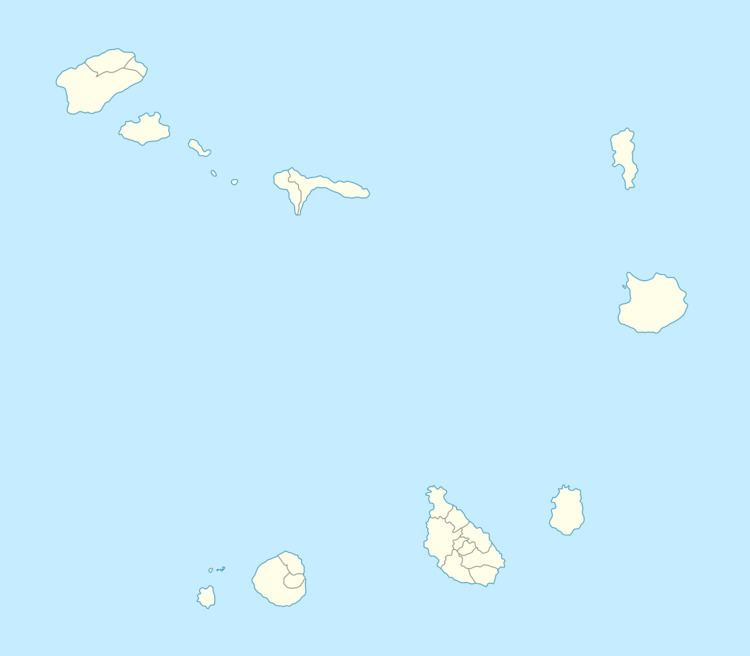
Map of Cabecalinho, Cape Verde

Nearby place includes Cachaço and Caleijão, the municipal boundary with Ribeira Brava is next to it.

Northwest is Monte Gordo Natural Park along with its mountain

Subdivisions

Its subdivisons are divided into neighborhoods (bairros) including:

  • Cachaçinho - next to the municipal boundary and near Cachaço
  • Caldeira
  • Chamiço de Cima
  • Ribeira de Fonte
  • Assomada Caleijão/Assomada de Estancha - next to the municipal boundary and near Caleijão
  • Chã
  • Lombo Cabeçalinho
  • Missemirinha
  • Lombo Ferreira
  • Coxo de Cabeçalinho
  • Curva de Barraquinha
  • Lombo Colo/Lombo Loteiro
  • Mato Fort (Cape Verdean Creole variant form of Mato Forte)
  • Titeia
  • Alto Cacáco
  • References

    Cabeçalinho Wikipedia