
Airport type Military | Phone +1 506-422-2000 Year built 1958 | |
 | ||
Commander Colonel Paul Rutherford Occupants 3 Area Support Group4 Engineer Support Regiment Address Burton, NB E2V 3A1, Canada | ||
January 1999 psac strike cfb gagetown nb
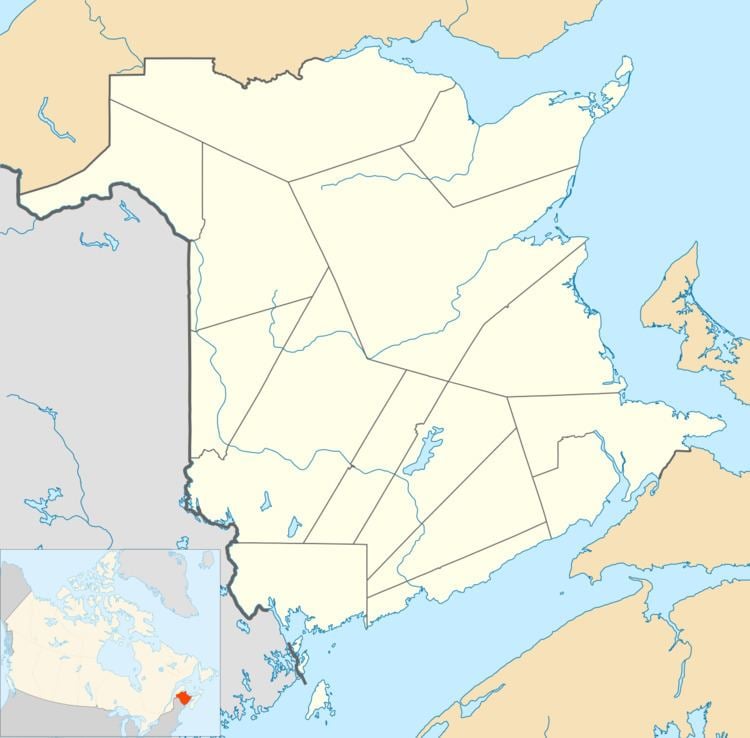
5th Canadian Division Support Base (5 CDSB) Gagetown, formally known as and commonly referred to as CFB Gagetown, is a large Canadian Forces Base covering an area over 1,100 km2 (420 sq mi), located in southwestern New Brunswick.
Contents
- January 1999 psac strike cfb gagetown nb
- Construction of the base
- Operations
- Defoliant testing
- References
Construction of the base
At the beginning of the Cold War, Canadian defence planners recognized the need for providing the Canadian Army with a suitable training facility where brigade and division-sized armoured, infantry, and artillery units could exercise in preparation for their role in defending western Europe under Canada's obligations to the North Atlantic Treaty. The facility would need to be located relatively close to an all-season Atlantic port and have suitable railway connections.
Existing training facilities dating from the First and Second World Wars in eastern Canada were relatively small (Camp Debert, Camp Aldershot, Sussex Military Camp, Camp Valcartier, Camp Petawawa, Camp Utopia), thus a new facility was considered. At the same time, regional economic development planners saw an opportunity for a military base to benefit the economy of southwestern New Brunswick.
The area under consideration was an expansive plateau west of the Saint John River between the cities of Saint John and Fredericton, measuring approximately 60 km (37 mi) in length and 40 km (25 mi) in width; more accurately it runs between Oromocto in the north to Welsford in the south, and between the Saint John River in the east and the South Branch of the Oromocto River in the west.
Over 900 families inhabited the area primarily engaged in agriculture and forestry industries. The terrain was variable, providing mixed Acadian forest, swamp and marshland, as well as open farming areas similar to the North European Plain. The influence of the St. Croix Highlands, part of the Appalachian Mountain range, creates hilly terrain and valleys in the southern and western part of the region close to the Nerepis and Oromocto Rivers.
The expropriation of lands began in the early 1950s, much to the surprise of local residents who had been kept in the dark about the expropriation until the last minute. The base was surveyed so as to not affect some of the historic communities along the western bank of the Saint John River such as Gagetown, Hampstead, and Browns Flat; the expropriation began several kilometres west of the river and eliminated the communities of Petersville, Hibernia, New Jerusalem, North Clones and others. This remains the largest single land expropriation in the history of New Brunswick.
The base headquarters were chosen for the northern part of the base adjacent to the (then) small village of Oromocto. In preparation for the influx of service personnel, Oromocto was redesigned as a "planned" town, with buried electrical utilities and residential and commercial clustering typical of larger planned towns such as Richmond Hill, Ontario.
Construction of the base facilities in Oromocto benefited from convenient railway connections provided by Canadian National and Canadian Pacific Railways. A new alignment of the Trans-Canada Highway was built on the eastern bank of the Saint John River, opposite from Oromocto in the early 1960s (see Route 2) and a new highway bridge across the Saint John River connected the Trans-Canada Highway to the village of Burton, just south of Oromocto and near the east gate for the base.
The Gagetown Military Camp (or Camp Gagetown) opened in 1956 and was named after the village of Gagetown, although the base was located west of this historic village and was headquartered 25 km (16 mi) to its north in Oromocto. The base's territory measured 1,129 km2 (436 sq mi) and included numerous live-fire ranges for infantry, armoured, and artillery units, as well as aerial weapons ranges.
At the time of its opening in 1956, until the opening of Shoalwater Bay Military Training Area in Australia in 1965, Camp Gagetown was the largest military training facility in the British Commonwealth of Nations. By comparison, Suffield has 2,690 km2 (1,040 sq mi) with 2,270 km2 (880 sq mi) usable by the military, and 420 km2 (160 sq mi) designated as the Suffield National Wildlife Area.
The training area has been heavily "landscaped" over the years by military foresters and many woodlines have been sculpted to form shapes recognizable from the air, including:
Operations
Initially, Camp Gagetown was the home base for many army regiments, including The Black Watch and The Royal Canadian Regiment; however, defence cutbacks in the 1960s saw a gradual reduction, and the demise of their parent formation, 3 Brigade Group. On February 1, 1968, the Canadian Army, the Royal Canadian Air Force, and the Royal Canadian Navy were merged to form the unified Canadian Forces. Following this unification, Camp Gagetown was renamed Canadian Forces Base Gagetown (CFB Gagetown).
In the post-unification armed forces, CFB Gagetown functioned as the primary combat training centre for Force Mobile Command (renamed Land Force Command in the 1990s). In the early 1970s Combat Training Centre Gagetown (CTC Gagetown) was established as a unit at CFB Gagetown comprising armour, artillery, and infantry training schools. In the 1990s the Canadian Forces School of Military Engineering was relocated to CFB Gagetown from CFB Chilliwack. The base is still widely referred to as Camp Gagetown.
Increased defence spending in the 1980s saw numerous new training facilities built and ranges modernized, and this continued into the 1990s as the Canadian Forces closed smaller bases in response to further defence budget cuts. A large training building housing much of CTC was opened in late 1992. CFB Gagetown continues to function as the army's primary training facility, although due to risk of forest fires in recent years, live-fire training has been pushed primarily to the fall-winter-spring seasons.
The base is now also home to the 2nd Battalion of The Royal Canadian Regiment.
CFB Gagetown hosts ACSTC Argonaut, the only Royal Canadian Army Cadets summer training centre in the Atlantic Provinces.
Defoliant testing
Portions of the training area were subject to testing of the defoliants Agent Orange and Agent Purple during the 1960s, which has led to an inquiry as to its long-term effects upon the soldiers and civilian base personnel who were exposed to it. The affected areas had soil tests that measured dioxin levels at 143 times the Canadian Council of Ministers of the Environment guidelines for maximum exposure.
In 2009, a New York production company is releasing a feature-length documentary looking into the herbicide spraying that took place at the base from 1956-1984. It has been said that over 3.2 million litres and kilograms of chemical defoliants were sprayed during that time. That number would make the concentration per acre stronger than American spraying in Vietnam.