
Max. length 23 km (14 mi) Surface area 28 km (11 sq mi) Area 28 km² | Max. width 1.5 km (0.93 mi) Surface elevation 221 m | |
 | ||
Primary inflows Similar Strathcona Provincial Park, Golden Hinde, Della Falls, Strathcona Park, Big Interior Mountain | ||
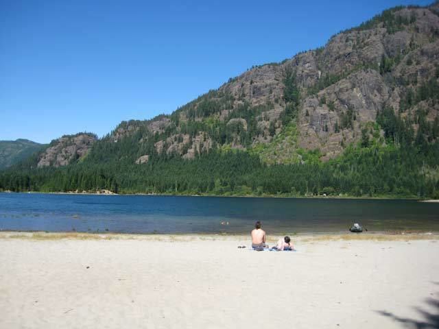
Buttle Lake is a lake on Vancouver Island in Strathcona Regional District, British Columbia, Canada. It is about 23 kilometres (14 mi) long and 1.5 kilometres (0.9 mi) wide, has an area of 28 square kilometres (11 sq mi), is up to 120 metres (394 ft) deep, and lies at an elevation of 221 metres (725 ft). The lake is located between Campbell River and Gold River in Strathcona Provincial Park; there is a camping site on the shore. The lake is the source of the Campbell River.
Contents
Map of Buttle Lake, Comox-Strathcona D, BC, Canada
It was named after John Buttle, geologist and botanist from Kew Gardens, London, who discovered the lake and mapped the area in 1865. Buttle also explored Vancouver Island as naturalist under Dr Robert Brown as part of the Vancouver Island Exploring Expedition in 1864.
Buttle lake
References
Buttle Lake Wikipedia(Text) CC BY-SA