
Time zone CET (UTC+1) Website www.busovaca.net Local time Tuesday 4:01 PM | Area code(s) +387 30 Area 158 km² Team HZKK Busovača | |
 | ||
Weather 5°C, Wind W at 8 km/h, 91% Humidity | ||
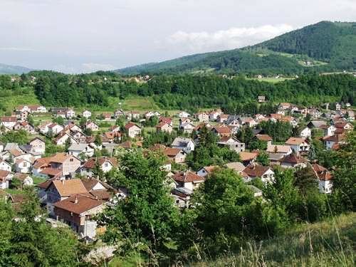
Busovača is a small town and municipality in Bosnia and Herzegovina. It is 60 km (37 mi) from Sarajevo, 21 km (13 mi) from Zenica, and 30 km (19 mi) from Travnik.
Contents
Map of Busova%C4%8Da, Bosnia and Herzegovina
History
During the Croat–Bosniak War, the city saw heavy fighting between the Army of the Republic of Bosnia and Herzegovina and the Croatian Defence Council. Busovača, with its small economy and infrastructure, is becoming an important crossroad between bigger cities.
1971
14.428 total
1991
18.879 total
2013
17.910 total
Settlements
• Bare • Bukovci • Buselji • Busovača • Carica • Dobraljevo • Dolac • Donja Rovna • Gornja Rovna • Grablje • Granice • Gusti Grab • Hozanovići • Hrasno • Javor • Jazvine • Jelinak • Kaćuni • Kaonik • Katići • Kovačevac • Krčevine • Krvavičići • Kula • Kupres • Lončari • Mehurići • Merdani • Mihaljevići • Milavice • Nezirovići • Očehnići • Oselište • Podbare • Podjele • Podstijena • Polje • Prosje • Putiš • Ravan • Skradno • Solakovići • Strane • Stubica • Šudine • Turići • Zarače