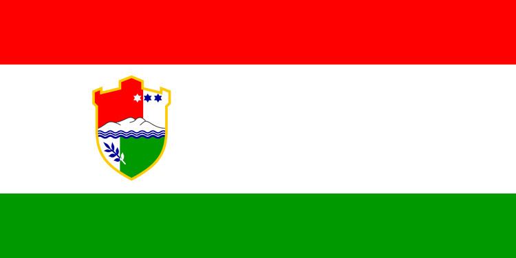
Flag Coat of arms Area 3,189 km² Local time Tuesday 8:03 PM | Population 254,686 (2013) | |
 | ||
Ethnic groups (2013) 57.58% Bosniaks38.33% Croats1.19% Serbs2.90% others Weather 2°C, Wind SW at 2 km/h, 92% Humidity Currency Bosnia and Herzegovina convertible mark | ||
The Central Bosnia Canton (Bosnian: Srednjobosanski kanton, Croatian: Županija Središnja Bosna) is the sixth of 10 cantons of the Federation of Bosnia and Herzegovina in Bosnia and Herzegovina.
Contents
Map of Central Bosnia Canton, Bosnia and Herzegovina
Geography
It is located in the center of the country, to the west of Sarajevo. The center of canton government is Travnik.
Municipalities
The canton is split into the municipalities of Bugojno, Busovača, Dobretići, Donji Vakuf, Fojnica, Gornji Vakuf-Uskoplje, Jajce, Kiseljak, Kreševo, Novi Travnik, Travnik, Vitez.
Demographics
Of the ten cantons comprising the Federation of Bosnia Herzegovina, Central Bosnia Canton and Herzegovina-Neretva Canton are the only ones in which neither Bosniaks nor Croats form an absolute majority. There are thus special legislative procedures for the protection of the constituent ethnic groups. Bosniaks form a majority in the municipalities of Bugojno, Donji Vakuf, Fojnica, Gornji Vakuf – Uskoplje and Travnik. Croats form a majority in the municipalities of Busovača, Dobretići, Jajce, Kreševo, Kiseljak, Novi Travnik and Vitez.
