
Time zone China Standard (UTC+8) | Area 10,370 km² | |
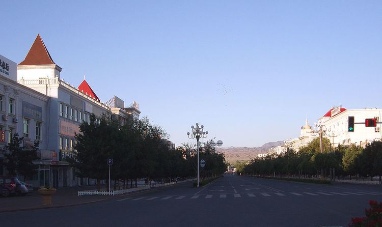 | ||
Burqin County (Chinese: 布尔津县; pinyin: Bù'ěrjīn Xiàn; Uyghur: بۇرچىن ناھىيىسى, Бурчин Наһийиси; Kazakh: بۋىرشىن اۋدانى, Буыршын Ауданы ), is a county in the Xinjiang region of China and is under the administration of the Kazakh autonomous area of Altay Prefecture. It has an area of 10,362 km² with a population of 70,000. The postcode is 836600.
Contents
Map of Burqin, Altay, Xinjiang, China
Geography
Burqin County is located in the northernmost part of Xinjiang. Its county seat, which is called Burqin Town (布尔津镇) is situated at the confluence of the Irtysh and its right tributary, the Burqin River. Most of the county is within the Burqin River basin, which reaches into the Altai Mountains on Xinjiang's border with Mongolia and Russia. The major mountain massif on Burqin county's border with these two countries is Tavan Bogd.
The Kanas Lake is located in the northern part of the county, on the border with the Habahe County.
The Burqin Shankou Dam is under construction on the Burqin River at 47°54′13″N 87°12′15″E. This is a concrete arch dam 94 m tall; the dam's hydroelectric plant will generate 220 Megawatt of power. The construction work started in July 2009, with the expected completion date in June 2013.
Farther upstream on the Burqin, the Burqin Chonghu'er Dam operates in Chunkur (Chonghu'er) Township (冲乎尔镇), at 48°11′00″N 87°09′08″E .