
Surface area 7,139 acres (2,889 ha) Islands >100 Surface elevation 418 m | Basin countries United States Max. depth 126 ft (38 m) Area 28.89 km² Outflow location Burntside River | |
 | ||
Primary inflows Similar Burntside Lodge, Superior National Forest, Mount Fay, International Wolf Center, Mount Temple | ||
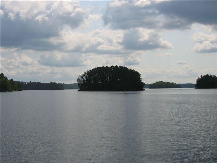
Ely mn burntside lake june 2014
Burntside Lake is a 7,139-acre (28.89 km2) lake, located 3 miles (4.8 km) northwest of Ely, Minnesota, in Saint Louis County, Minnesota. Its western boundary adjoins the Boundary Waters Canoe Area Wilderness on Tamarack Creek.
Contents
- Ely mn burntside lake june 2014
- Map of Burntside Lake Morse Township MN 55731 USA
- Burntside lake ely minnesota fishing 2015 tamarack resort
- References
Map of Burntside Lake, Morse Township, MN 55731, USA
Native fish include Bluegill, Golden Shiner, Green Sunfish, Lake Trout, Lake Whitefish, Northern Pike, Rainbow Smelt, Rock Bass, Shorthead Redhorse, Smallmouth Bass, Walleye, White Sucker and Yellow Perch.
On its shores are two resorts with original hand-scribed log cabins built in the early 1900s and operating continuously since then: historic Burntside Lodge (1913) and Camp Van Vac (1918). The YMCA's Camp Widjiwagan is also located on the lake's shore.
Burntside Lake's more than 100 islands include Beach; Bear; Berry; Blueberry; Brownell; Burnt; Burntside Islands; Gem; Dollar; Evans; Good Dog; Half Dollar; Honeymoon; Indian; Lockhart; Long; Lost Girl; Miller; Oliver; Picnic; Porkchop; Ripple; Snake; State; Sumpter; Waters; and many more.
Long Island was recently acquired by the Trust for Public Land.
The Burntside Islands (Snellman and Pine) are SNAs (Scientific and Natural Areas, gifted by the Nature Conservancy) held by the DNR.