
Elevation 786 m (2,579 ft) | Microregion Meia Ponte Microregion Time zone BRT/BRST (UTC-3/-2) | |
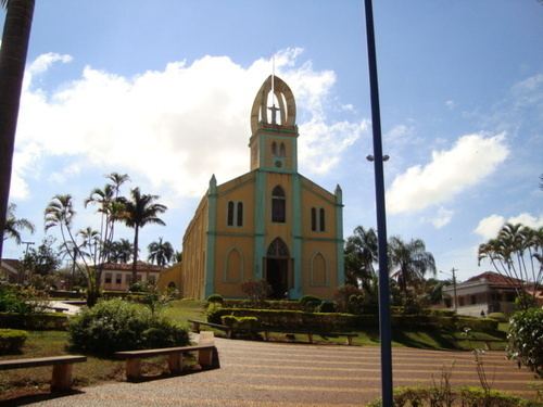 | ||
Buriti Alegre is a municipality in south Goiás state, Brazil. The population was 8,287 inhabitants (2007) in a total area of 897.4 km². Buriti Alegre is a large producer of poultry products.
Contents
- Map of Buriti Alegre State of GoiC3A1s Brazil
- Location and communications
- History
- Demographic and political data
- Economy
- Health 2007
- Education 2006
- References
Map of Buriti Alegre - State of Goi%C3%A1s, Brazil
Location and communications
Buriti is located in the extreme south of the state between Morrinhos and Itumbiara. It is part of the Meia Ponte Microregion. The distance to the state capital, Goiânia, is 181 km. The distance to the important BR-153 highway is 26 km. The elevation is 620 meters above sea level.
Highway connections from Goiânia are made by BR-153, passing through Aparecida de Goiânia and Professor Jamil and taking GO-419. Source: Sepin
Buriti has boundaries with the following municipalities: Morrinhos (north); Itumbiara and Tupaciguara, (south); Água Limpa (east); and Goiatuba (west).
The municipality is crossed by several rivers, the most important being the Paranaíba and the Corumbá. There is also the Pirancanjuba, which flows into the Corumbá. The Lago das Brisas with an area of 778 km² is formed by the meeting of the waters of the Piracanjuba, Corumbá and Paranaíba.
History
Buriti Alegre began in 1910 with the construction of a chapel on the Buriti ranch. The chapel was dedicated to Our Lady of Aparecida and attracted pilgrims from around the region. In 1914 it became a district of Catalão. In 1927 it was dismembered to become a municipality.
Demographic and political data
(Seplan)
Economy
The economy is based on cattle raising and agriculture, which is diversified, producing corn, rice, soybeans, oranges, and bananas. In the 1950s Buriti had one of the largest herds of zebu cattle in the country, but today the number is around 80 thousand head. There are slaughterhouses for cattle and poultry in the town.
Agricultural Production
(Seplan and IBGE)
Farm data 2006
Health (2007)
(Seplan and IBGE)
Education (2006)
(Seplan and IBGE)
Ranking on the Municipal Human Development Index
(*Frigoletto)