
Demonym(s) Aparecidense Area 290.1 km² Local time Monday 6:50 AM | City Status 1963 Time zone UTC-3 (UTC-3) Elevation 808 m | |
 | ||
Weather 20°C, Wind NW at 0 km/h, 92% Humidity | ||
Time lapse landscape 4k gopro aparecida de goi nia go brazil
Aparecida de Goiânia ([apaɾeˈsidɐ dʒi ɡoˈjɐ̃niɐ]) is a city and municipality in central Goiás, Brazil. It is the second largest city in the state and a bustling industrial center.
Contents
- Time lapse landscape 4k gopro aparecida de goi nia go brazil
- Map of Aparecida de GoiC3A2nia State of GoiC3A1s Brazil
- Location
- Demographics
- Political Information
- History
- Economy
- Health 2007 and Education 2006
- Climate
- Tourism
- References
Map of Aparecida de Goi%C3%A2nia, State of Goi%C3%A1s, Brazil
Location
Bordering on the southern limits of Goiânia, 21 kilometers from the center, Aparecida has experienced rapid growth as a suburb and an option for less expensive housing than in neighboring Goiânia.
Municipal boundaries are with:
The city is cut by the BR-153 (Goiânia-São Paulo) and several municipal highways and bathed by the Meia Ponte River.
Demographics
Political Information
In January 2005 the mayor was José Macedo de Araújo. There were 224,835 eligible voters in December 2007 and the city council had 17 members. In October 2008 Maguito Vilela was elected mayor, who took office in January 2009.
History
The history of Aparecida, like that of Goiânia, is recent. In 1922 followers of Our Lady of Aparecida donated land so that their neighbors could build a church for the Virgin. In 1958 it was elevated to the condition of Vila, as a district of Goiânia with the name Aparecida de Goiás. In 1958 the name was changed to Goialândia which remained until 1963 when it emancipated itself and assumed the name of Aparecida de Goiânia.
Economy
Its proximity to the capital has attracted important industries like Mabel (cookies), Vepeza and others, concentrated in the four different industrial zones on the edge of BR-153. In recent years the number of companies has doubled. In 2007 there were 964 industries. The industrial centers in the city are Distrito Agroindustrial de Aparecida de Goiânia (Daiag), Distrito Industrial (Dimag), Pólo Empresarial Goiás and Cidade Empresarial.
In 2007 there were 13 financial institutions in the city.
Despite the heavy industrialization Aparecida still produces agricultural products. The cattle herd was 11,700 in 2003. Other agricultural products are rice, manioc, bananas, coconut, and sugarcane.
Health (2007) and Education (2006)
Climate
The climate is tropical wet and dry or savanna climate (Aw) with an annual average of 21 °C and a rainfall index of 1,500 mm., with rains concentrated in the months of November to March.
Tourism
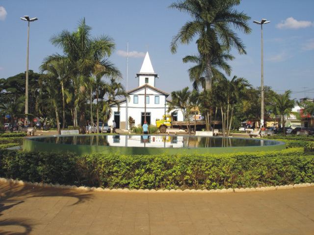
One of the festivals that most attracts tourists to this industrial city is the festival of its patroness, Nossa Senhora Aparecida.