
Population 1,024 (2011 Census) Sovereign state United Kingdom Area 10.11 km² Dialling code 01953 | OS grid reference TM117938 Post town NORWICH Local time Monday 11:31 PM | |
 | ||
Weather 5°C, Wind W at 11 km/h, 91% Humidity | ||
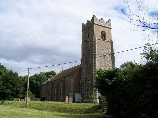
Bunwell is a parish (population 1024) situated in the county of Norfolk, England, approximately 7 miles south-east of Attleborough. The parish includes the hamlets of Bunwell Hill, Bunwell Street, Great Green, Little Green and Low Common. Often overlooked as visitors head for quaint New Buckenham, this oddly widespread community is centred on a church, primary school, village hall and homes of mixed heritage—although some clearly date from Shakespearean times. Most residents commute to the city of Norwich or town of Diss.
Contents
Map of Bunwell, Norwich, UK
The recreation ground is home to Bunwell FC, winners of the South Norfolk league division 3 in 2008, during the winter months and Bunwell CC in the summer. Three members of the band Mona McNee's Love Children, which played around Norwich in the 1990s, came from the village.
The Bunwell Heritage Group is currently researching and writing a comprehensive history of the parish. Their findings are being published in the form of self-contained essays on the internet.
Governance
An electoral ward in the same name exists. This ward stretches south to Tibenham with a total population taken at the 2011 census of 2,737.