
Country New Zealand Postcode(s) Map of postcodes Area 7,953 km² | Time zone NZST (UTC+12) Website bullerdc.govt.nz Area code 03 | |
 | ||
Points of interest Paparoa National Park, Lewis Pass, The Denniston Experience, Buller Gorge Swing Bri, Lake Daniell Destinations | ||
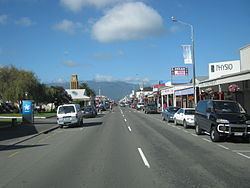
Buller District is one of 53 districts of New Zealand, and is within the West Coast Region. It covers Westport, Karamea, Reefton and Inangahua Junction.
Contents
Map of Buller District, West Coast, New Zealand
Buller District's overall land area is 7,953.12 km² (3,070.72 sq mi). The district is administered by the Buller District Council with the seat in Westport, in which 45% of the district's population live.
Population
The district had a population of 9,702 at the 2006 census with 3900 living in Westport, 423 in Karamea, 159 in Inangahua Junction and 948 in Reefton. It now has a population of 10,250 (June 2016).
History
It is understood by the carbon dating of Umu (ovens) that the Maori people settled in this region some 700 years ago.
During the period 1853 to 1876, Buller was administered as part of Nelson Province. After 1876 Buller County existed in this area. The Buller District was formed under the 1989 local government reforms through the amalgamation of the Buller County, Inangahua County and Westport Borough Councils.