
Peak Signal Mountain Length 15 mi (24 km) NE-SW Type of rock Catoctin Greenstone Orogeny Alleghanian orogeny | Elevation 1,329 ft (405 m) Width 3 mi (4.8 km) E-W | |
 | ||
Similar Bull Run Mountains Conservancy, Blue Ridge Mountains, Beverley Mill, Manassas Gap, National Sporting Library | ||
Bull run mountains conservancy hike
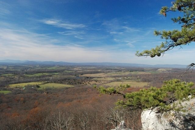
The Bull Run Mountains are a mountain range of the Blue Ridge Mountains in northern Virginia in the United States. Located approximately 20 miles (32 km) east of the main chain, across the Loudoun Valley. The Bull Run Mountains, together with Catoctin Mountain in Virginia and Maryland, make up the easternmost front of the Blue Ridge.
Contents
- Bull run mountains conservancy hike
- Map of Bull Run Mountains Gainesville VA 20169 USA
- GeographyEdit
- GeologyEdit
- HistoryEdit
- Peaks and gapsEdit
- References
Map of Bull Run Mountains, Gainesville, VA 20169, USA
The range is home to the Bull Run Mountains Natural Area Preserve, and to residents of the Bull Run Mountain Estates.
Interstate 66, the John Marshall Highway (Virginia Route 55) and the Manassas Gap Railroad pass through the range at Thoroughfare Gap.
GeographyEdit
The range extends in a southwest-northeast orientation for approximately 15 miles (24 km) from Aldie in Loudoun County, through western Prince William County to New Baltimore in Fauquier County. In the north, from Aldie to the headwaters of Bull Run Creek, the range is entirely within Loudoun County and serves as the eastern border of the southern Loudoun Valley. South of Bull Run Creek, the watershed of the range forms the western border of Prince William with Fauquier and thus the eastern slopes are in the former county, while the western slopes are in the latter.
The range consists of three closely spaced ridges (with several spurs), which converge in the center of the range. The northern section of the range consists of a solitary ridge, which dies out towards the center of the range, whereupon two ridges to the west gain prominence. In the southern section the central ridge dies out as well and the western-most ridge solely comprises the range. The section of the Bull Run Mountains south of Thoroughfare Gap is sometimes referred to as the Pond Mountains. The Broken Hills intersect the range south of I-66 in the southern section.
GeologyEdit
The Bull Run Mountains are a geological extension of the same formation that makes up the Catoctin Mountain. This formation consist mainly of Catoctin greenstone interspersed with white quartz and Precambrian metamorphosed basalt flows. The lower ridges on the eastern front also contain Jurassic basalt flows. These rocks were transported westward to their current location and uplifted during the Alleghenian Orogeny.
HistoryEdit
The Battle of Thoroughfare Gap was fought on the mountain prior to the Second Battle of Manassas during the American Civil War.