
 | ||
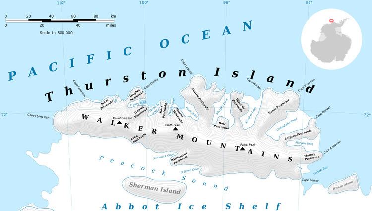
Bulbur Glacier (72°27′S 98°33′W) is a glacier in south-central Thurston Island; it flows south along the west side of Boker Rocks into O'Dowd Cove. It was named by the Advisory Committee on Antarctic Names after E.R. Bulbur, Photographer's Mate in the Eastern Group of U.S. Navy Operation Highjump, which obtained aerial photographs of Thurston Island and adjacent coastal areas, 1946–47.
Contents
Map of Bulbur Glacier, Antarctica
Maps
References
Bulbur Glacier Wikipedia(Text) CC BY-SA