
Elevation 1,200 m | Time zone EAT (UTC+3) Local time Monday 1:49 PM | |
 | ||
Weather 28°C, Wind E at 10 km/h, 52% Humidity | ||
Bukomansimbi is a town in the Central Region of Uganda. It is the chief municipal, administrative, and commercial center of Bukomansimbi District and the site of the district headquarters.
Contents
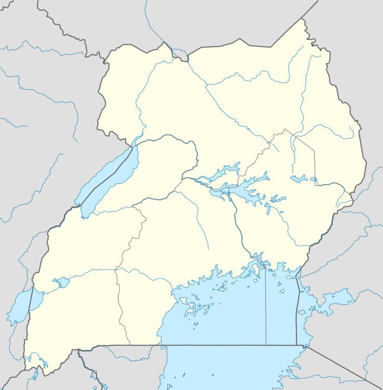
Map of Bukomansimbi, Uganda
Location
Bukomansimbi is on the main highway between Masaka and Sembabule. It is approximately 26 kilometres (16 mi), by road, northwest of Masaka, the largest city in the sub-region. The coordinates of the town are 0°10'00.0"S, 31°37'07.0"E (Latitude:-0.166667; Longitude:31.618600).
Population
As of May 2014, local sources estimated the population of the town as "less than 10,000".
Points of interest
The following additional points of interest lie within the town limits or close to its borders:
References
Bukomansimbi Wikipedia(Text) CC BY-SA