
Elevation 1,280 m | Time zone EAT (UTC+3) Local time Monday 6:13 AM | |
 | ||
Weather 18°C, Wind SW at 5 km/h, 92% Humidity | ||
Sembabule is a town in Sembabule District in the Central Region of Uganda. The town is the main municipal, administrative, and commercial center of the district and the site of the district headquarters.
Contents
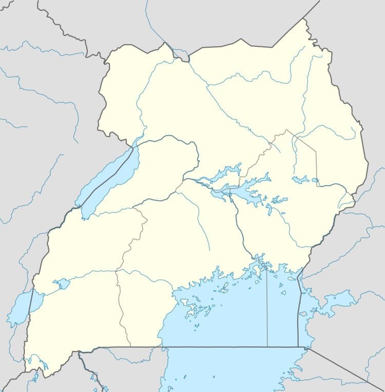
Map of Sembabule, Uganda
Location
Sembabule is approximately 48 kilometres (30 mi), by road, northwest of Masaka, the largest city in the sub-region. This is approximately 160 kilometres (99 mi), by road, southwest of Kampala, the capital and largest city of Uganda. The coordinates of the town are 0°04'48.0"S, 31°27'36.0"E (Latitude:-0.0800; Longitude:31.4600).
Population
The 2002 national census estimated the population of the town to be 4,010. In 2010, the Uganda Bureau of Statistics (UBOS) estimated the population at 4,700. In 2011, UBOS estimated the mid-year population at 4,800.
Points of interest
The following additional points of interest lie within town or near the town limits: