
Elevation 164 m | Area 163 ha | |
 | ||
CDCs Central Singapore CDCNorth West CDCSouth West CDC Town councils Holland-Bukit Panjang Town CouncilJurong-Clementi Town CouncilTanjong Pagar Town Council Constituencies Holland-Bukit Timah GRCJurong GRCTanjong Pagar GRC Demonym(s) OfficialBukit Timah residentColloquialBukit TimaherBukit Timahian Similar Little India - Singapore, Bukit Timah Nature R, Tiong Bahru, Raffles Place, Bukit Timah Hill | ||
Bukit Timah (Chinese: 武吉知马, Tamil: புக்கித் திமா), often abbreviated as Bt Timah, is a planning area and residential estate located in the Central Region of Singapore. Bukit Timah lies roughly 10 kilometres (6.2 mi) from the Central Business District, bordering the Central Water Catchment to the north, Bukit Panjang to the northwest, Queenstown to the south, Tanglin to the southeast, Clementi to the southwest, Novena to the east and Bukit Batok to the west.
Contents
- Etymology
- History
- Highlights
- Education
- Primary Schools
- Secondary Schools
- Tertiary Institutions
- Other Schools
- References
With little government-funded public housing developments in the area, Bukit Timah has one of the highest densities of private housing out of any other planning areas in the country. Compared to other places located in the outskirts of the city, residential properties in Bukit Timah are far more expensive.
Etymology
Bukit Timah, which literally means "tin hill" in Malay, was already identified on the 1828 map by Frankin and Jackson as Bukit Timah. The hill in question was depicted on the map towards the northwest as two hills at the eastern source of the Kranji River.
History
Since the interior of the island was not fully explored at that time, the location and name of the hill for the map probably came from the Malay community. According to one source, Bukit Timah has nothing to do with tin. The original Malay name for the hill was Bukit Temak, meaning "hill of the temak trees", referring to pokok temak, a tree that grew abundantly on the slopes of the hill. However, to the western ear, Temak in Malay enunciation sounded like Timah, hence Bukit Timah. Some say that timah is an abbreviation of Fatimah, a popular Malay girl's name.
In December 1843, a carriage way road was completed leading up to the hill. A small hut with chairs was constructed for visitors. The hill was viewed then as an "excellent sanatorium", as the air was "cooler and fresher than the plain, producing an agreeable exhilaration of spirits".
Bukit Timah is known as eyam malai (tin hill) in Tamil, being a literal translation of the Malay name. For some, it is synonymous with the Singapore Turf Club, where members and paying visitors flock on race days. This course is closed to the public, unlike the former course (now Farrer Park) where the general public enjoyed watching the king's sport for free.
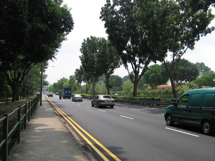
The 25-km long Bukit Timah Road, the longest road in Singapore, running north and south, takes its name from this hill. The road to Kranji was completed in 1845. Apparently, the area was so infested with tigers that it constituted a serious threat to human life. In 1860, nearly 200 people were reported to have been killed by tigers in and about the gambier and pepper plantations. The first ride on horseback across the island was along Bukit Timah Road in 1840; it took four days and was made by Mr Thomson and Dr Little.
Bukit Timah Road is known as tek kha kang a kinn in Hokkien, which means "the side of the stream in the tek kha (or Selegie Road) district". This only refers to the lower end of the Bukit Timah Road. The Wayang Satu and Bukit Timah village parts are differently called. The Hokkiens also refer to Bukit Timah as be chia lo bue, meaning "end of the horse carriage road".
Bukit Timah Road witnessed the last defensive stand against the invading Japanese army. During World War II, when the British lost Bukit Timah to the Japanese on 11 February 1942, they knew they had little chance of continuing the defence of the island as most of their food and supplies were stored there. On 15 February 1942, the head of the Allied forces, Lieutenant General A.E. Percival surrendered to Lieutenant General Tomoyuki Yamashita at the Ford Factory in Bukit Timah.
During the Japanese Occupation, Japanese troops built Syonan Jinja, a Shinto shrine (Syonan-to was the Occupation name for Singapore), similar to the Yasukuni Shrine in Japan but of a smaller size, at Bukit Timah. Two war memorials dedicated to the Japanese war dead and, surprisingly, to the British and Empire troops who died defending Singapore, were built at the site. Students, Japanese commanders and British POWs' representatives would gather there regularly to commemorate the dead during the Occupation.
Shortly before the Japanese surrender, Japanese forces hastily destroyed Syonan Jinja, on fears that returning British forces would demolish it in a dishonourable manner. The site of the Syonan Jinja lies in a grey area between the Bukit Timah Nature Reserve and Singapore Armed Forces restricted area. Several historians have been to the site, and an episode from then Television Corporation of Singapore (TCS) history documentary programme, "Hey Singapore", was based on Syonan Jinja. Since then, the Singapore Government has designated the place as a "Historical Site". No plans have been indicated to restore the site.
Some of the Japanese war dead were taken back to the Yasukuni Shrine, while the remains of the British troops were interred at the British Commonwealth's Kranji War Memorial in Singapore. Nothing of the Syonan Jinja shrine remains, except for the ritual cleansing pond and several Japanese stone pavements left at the site.
After the Japanese occupation, the farms and plantations in Bukit Timah gave way to industrial buildings and high-rise flats. In the 1960s and 1970s, Bukit Timah was a major industrial centre. Today, these have been replaced with luxury bungalows, terraces and condominiums, making Bukit Timah Singapore's premier residential district.
Highlights
The Bukit Timah area is a particularly prominent location with a high land value.
The Bukit Timah Race Course, a thoroughbred horse racing facility, was opened in 1933 and operated until 1999.
The nearby area hosts many bungalows, typically expensive in land-scarce Singapore, as well as high rise condominiums. Many expatriates and well-heeled Singaporeans live in this region.
This region was later extended and Upper Bukit Timah (District 21) was formed. The Keretapi Tanah Melayu from Malaysia had a passing loop station here along its rail network from Johor Bahru to Tanjong Pagar.
Stage 2 of the Downtown MRT Line underground train service started on 27 December 2015 and runs along the entire Bukit Timah Road. It connects Bukit Panjang in the North-Western edge of Bukit Timah to the city centre in the South.
Education
Bukit Timah is known to having many elite schools in the region. It also has several international schools due to the number of expatriates living in this region.