
Time zone EAT (UTC+3) Local time Monday 3:51 AM | Elevation 1,240 m | |
 | ||
Weather 20°C, Wind SE at 5 km/h, 69% Humidity | ||
Sironko storms torrential rains wreck havoc in budadiri
Budadiri is a town in eastern Uganda. It is one of the urban centers in Sironko District.
Contents
- Sironko storms torrential rains wreck havoc in budadiri
- Map of Budadiri Uganda
- Budadiri residents clash with police over suspension of popular local doctor
- Location
- Overview
- Population
- Landmarks
- References
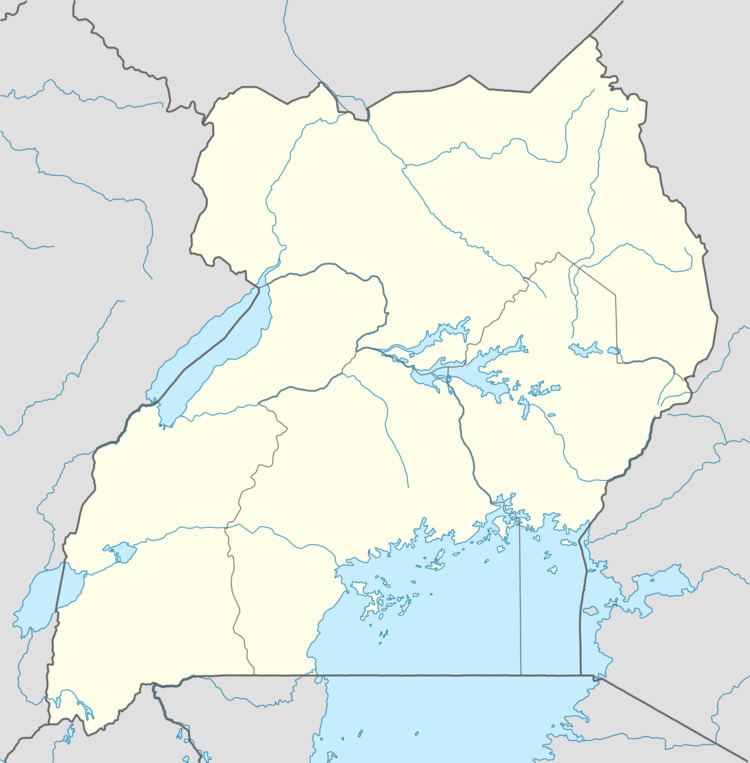
Map of Budadiri, Uganda
Budadiri residents clash with police over suspension of popular local doctor
Location
Budadiri is located approximately 13 kilometres (8.1 mi), by road, southeast of Sironko, the district headquarters. It is located within Mount Elgon National Park. The coordinates of the town are:10 10 12N, 34 20 06E (Latitude:1.1700; 34.3350).
Overview
Budadiri is situated at 1,240 metres (4,070 ft) above sea level, at the foothills of Mount Elgon. The town is a popular staging area and base camp for climbers who would like to scale the mountain.
Population
The exact population of Budadiri is not known at this time.
Landmarks
The landmarks within the town limits or close to the edges of town include:
References
Budadiri Wikipedia(Text) CC BY-SA