
Time zone EAT (UTC+3) Local time Thursday 3:56 AM | Elevation 1,178 m | |
 | ||
Weather 21°C, Wind SE at 5 km/h, 66% Humidity | ||
Police deploys heavily in sironko as residents plan demo against rdc
Sironko is the largest metropolitan area in Sironko District of the Eastern Region of Uganda and the site of the district headquarters.
Contents
- Police deploys heavily in sironko as residents plan demo against rdc
- Map of Sironko Uganda
- Besigye narrates how he made it past police security to go to sironko
- Location
- Overview
- Population
- Points of interest
- References
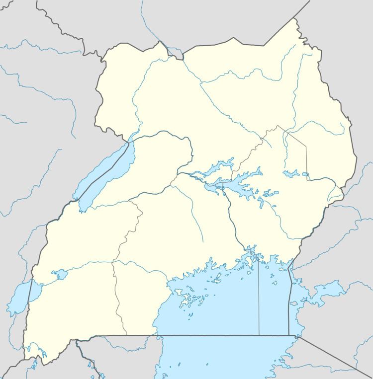
Map of Sironko, Uganda
Besigye narrates how he made it past police security to go to sironko
Location
Sironko is approximately 22 kilometres (14 mi) by road, northeast of the city of Mbale on the highway between Mbale and Moroto. This is approximately 265 kilometres (165 mi), by road, northeast of Kampala, Uganda's capital and largest city. The coordinates of the town are 1°13'50.0"N, 34°14'53.0"E (Latitude:1.230556; Longitude:34.248056).
Overview
The elevation of the town is 3,864 feet (1,178 m) above sea level.
Population
The 2002 national census put the population of the town at about 11,200. In 2010, the Uganda Bureau of Statistics (UBOS) estimated the population at 13,700. In 2011, UBOS estimated the population at 14,100. In 2014, the national population census put the population at 18,884
Points of interest
The following additional points of interest lie within the town limits or near the edges of town: