
Country United States Time zone CST (UTC-6) Area 92.54 km² Population 1,484 (2010) | Established November 6, 1849 Elevation 190 m Local time Sunday 5:10 PM University Spoon River College | |
 | ||
ZIP codes 61427, 61519, 61520, 61542 Weather 15°C, Wind S at 31 km/h, 59% Humidity | ||
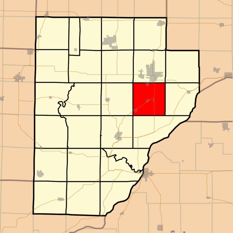
Buckheart Township is one of twenty-six townships in Fulton County, Illinois, USA. As of the 2010 census, its population was 1,484 and it contained 709 housing units.
Contents
- Map of Buckheart Township IL USA
- Geography
- Cities towns villages
- Major highways
- Lakes
- School districts
- Political districts
- References
Map of Buckheart Township, IL, USA
Geography
According to the 2010 census, the township has a total area of 35.73 square miles (92.5 km2), of which 34.76 square miles (90.0 km2) (or 97.29%) is land and 0.97 square miles (2.5 km2) (or 2.71%) is water.
Cities, towns, villages
Major highways
Lakes
School districts
Political districts
References
Buckheart Township, Fulton County, Illinois Wikipedia(Text) CC BY-SA