
Existed: 1937 – present Constructed 1937 | Length 168.1 km | |
 | ||
South end: US 36 / I-55 / I-72 in Springfield North end: I-74 / US 150 in Knoxville Major cities Petersburg, Havana, Lewistown Counties Sangamon County, Illinois, Menard County, Illinois | ||
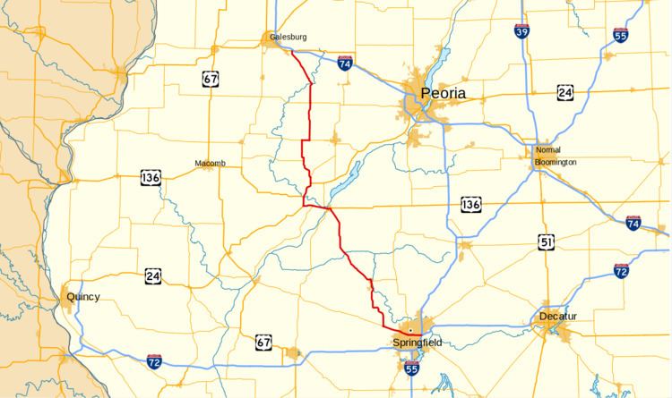
Illinois Route 97 (IL 97) is a north–south state highway in the central and western portions of the U.S. state of Illinois. It extends from exit 98 on Interstate 55 (I-55) in Springfield northwest to U.S. Highway 150 (US 150) near Galesburg. It crosses over the Illinois River on a bridge west of Havana. This is a distance of 104.43 miles (168.06 km).
Contents
Map of IL-97, Illinois, USA
Route description
IL 97 starts off in Springfield on East Clear Lake Avenue. It heads east, forming a concurrency with IL 125. IL 97 splits off and north shortly after, entering Menard County.
In Menard County, along a concurrency with IL 123 in New Salem, it passes Lincoln's New Salem State Historic Site near Petersburg, the home of Abraham Lincoln in the 1830s. It afterwards passes through Mason County. The road enters Fulton County immediately after crossing a bridge concurrent with US 136 and IL 78.
It then passes both the Emiquon National Wildlife Refuge and Dickson Mounds State Memorial. Afterwards, it drops the concurrency with IL 78 and US 136 but picks up US 24. During and after it gains concurrency with IL 100, it heads north throughout hills. It enters Knox County after a brief concurrency with IL 9. It continues north through hills until its northern terminus at I-74 near Galesburg.