
Country United States Time zone CST (UTC-6) Area 3.491 km² Area code 612 | ZIP code 55405, 55416 Population 2,651 (2010) | |
 | ||
Community Calhoun Isles, Minneapolis | ||
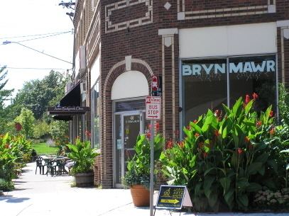
Bryn Mawr (pronounced /ˌbrɪnˈmɑːr/ from Welsh for "big hill") is a neighborhood within the Calhoun-Isles community in Minneapolis. It is located directly west of downtown Minneapolis. The oddly-shaped neighborhood is bound by parkland: Theodore Wirth Park to the north and west, Bassett Creek to the north, Bryn Mawr Meadows to the east, and Cedar Lake Park to the south. Nearby neighborhoods include Harrison to the north, Lowry Hill to the east, and Kenwood and Cedar-Isles-Dean to the south. To the west is the city limit, where the neighborhood borders on the suburbs of Saint Louis Park and Golden Valley. Prior to the 1960s, the neighborhood was home to many workers of the nearby Minneapolis and St. Louis Railway yard.
Map of Bryn Mawr, Minneapolis, MN, USA
References
Bryn Mawr, Minneapolis Wikipedia(Text) CC BY-SA