
Country United States Area 135 ha Population 3,211 (2010) | Time zone CST (UTC-6) Zip code 55405 Area code 612 | |
 | ||
Restaurants Milda's Cafe, Elite Catering, SunnySide Coffee Cafe and | ||
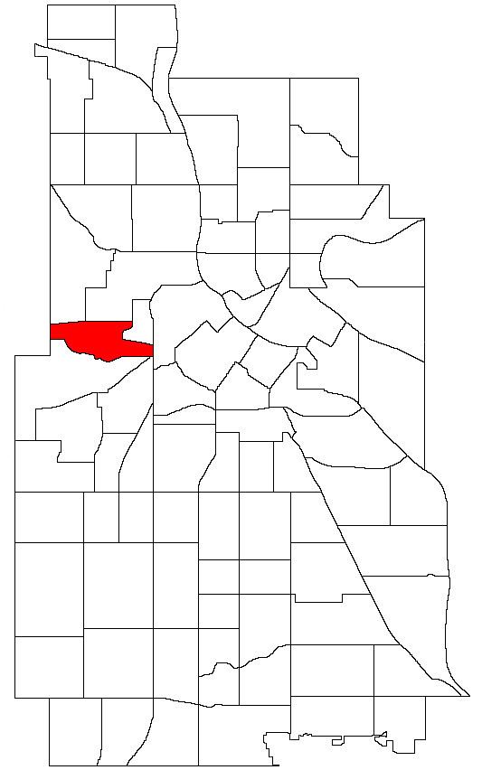
Harrison is a neighborhood in the Near North community in Minneapolis, Minnesota, located to the west of downtown. Its boundaries are roughly, Olson Memorial Highway to the north, Lyndale Avenue to the east, Bassett Creek to the south, and Theodore Wirth Park to the west.
Map of Harrison, Minneapolis, MN, USA
One of Prince's childhood homes is located in the Harrison Neighborhood at 539 Newton Avenue North. Sources vary as to the years that Prince resided at this address. He reportedly lived here with his father some of the time after his parents' breakup and before moving into the Bernadette Anderson household at 1244 Russell Avenue North. Prince continued to visit his father at this house in Harrison well into his career as an internationally acclaimed musician. Prince Rogers Nelson was listed on county records as the property owner at the time of Prince's death.
The Harrison Neighborhood area began forming as an identifiable urban neighborhood in the late 1800s and early 1900s, developing into a concentration of residents of Finnish heritage. From approximately 1900 to 1960 the Harrison Neighborhood area was informally and widely known as the 'Finn Town' of the Minneapolis St. Paul vicinity. From around the 1960s, Harrison began to lose its Finnish identity and gradually evolved into a very multi-racial and multi-ethnic neighborhood.