
County Washington Time zone CST (UTC-6) Elevation 398 m Population 2,216 (2000) | Established before 1836 GNIS feature ID 69780 Local time Saturday 7:03 PM Area code 479 | |
 | ||
Weather 15°C, Wind S at 13 km/h, 31% Humidity Area 110.6 km² (102.8 km² Land / 7.77 km² Water) | ||
Brush Creek Township is one of thirty-seven townships in Washington County, Arkansas, USA. As of the 2000 census, its unincorporated population was 2,216.
Contents
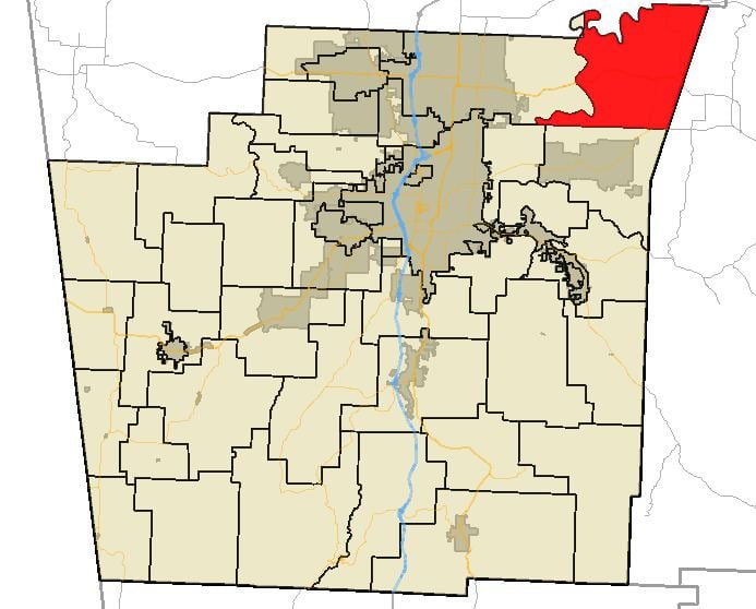
Map of Brush Creek Township, AR, USA
Geography
According to the United States Census Bureau, Brush Creek Township covers an area of 39.7 square miles (103 km2) of land and 3.0 square miles (7.8 km2) of water for 42.7 square miles (111 km2) in total area. Brush Creek Township gave some area up to Goshen Township in 1879.
Cities, towns, villages
Cemeteries
The township contains Joyce Cemetery and Morriss Cemetery.
Major routes
References
Brush Creek Township, Washington County, Arkansas Wikipedia(Text) CC BY-SA