
Existed: 1986 – present Length 23 km | South end: BC 99 in Delta Constructed 1986 | |
 | ||
North end: BC 99/Alderbridge Way in Richmond | ||
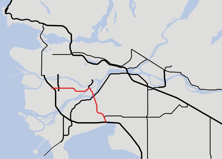
Highway 91 is an alternative freeway route to Highway 99 through Delta, New Westminster and Richmond, British Columbia. The highway was built in two sections, the first section from Delta to East Richmond in 1986, and the second section across Richmond in 1989.
Contents
Map of BC-91, British Columbia, Canada
It was the highest numbered highway in British Columbia that is not derived from a continuation of a US highway, until the designation of Highway 118 in 2003.
Route details
The total distance covered by Highway 91 is 22 km (14 mi). Starting at its junction with Highway 99 in East Delta, the route travels north for 2 km (1¼ mi) to a junction with Highway 10, then north for 10 km (6 mi) through two interchanges and one intersection, over the Alex Fraser Bridge onto Annacis Island, and through another interchange. Highway 91 then crosses the Annacis Channel bridge into Richmond, at which point it veers west. At the southern entrance to Highway 91, the road is named Annacis Highway, however, that name is not commonly used.
In Richmond, where Highway 91 is officially termed the Richmond Freeway but also as the East-West Connector, the route travels west for 10 more km (6 mi), through a junction with Highway 91A and two more interchanges, until it terminates just past its Richmond junction with Highway 99 at Shell Road.
$10 million had been allocated for a new interchange at 72nd Avenue, which is currently the only at-grade intersection on Highway 91. Upgrading this interchange would earn Highway 91 the status of a full freeway, but it was reported in the Surrey Leader in 2008 that work on this proposal had ground to a halt because of disagreements between the municipal and provincial governments over the type of interchange that would be in place. The allocated funding has since been diverted for other uses, and as of 2011 the province had no intention of building the interchange, but in April 2013, International Trade Minister Ed Fast announced that the removal of the traffic signal at 72nd Avenue would be given the go-ahead. On June 8, 2016, the BC government announced that the construction of a new interchange at 72nd Avenue, now priced at $30 million, will commence in the fall, thereby removing the final traffic signals on the Highway 91.
In early 2009, another interchange was agreed upon to be added to Highway 91 just south of the 'S' curve in Richmond, connecting Nelson Road to the highway. The interchange was opened on August 22, 2011.
Exit list
From south to north. The entire route is in Metro Vancouver.