
Country United States County Saint Louis Time zone Central (CST) (UTC-6) Elevation 463 m | State Minnesota ZIP code 55602 Local time Friday 8:37 AM | |
 | ||
Weather -17°C, Wind NW at 5 km/h, 55% Humidity | ||
Brimson is an unincorporated community in Ault Township, Saint Louis County, Minnesota, United States.
Contents
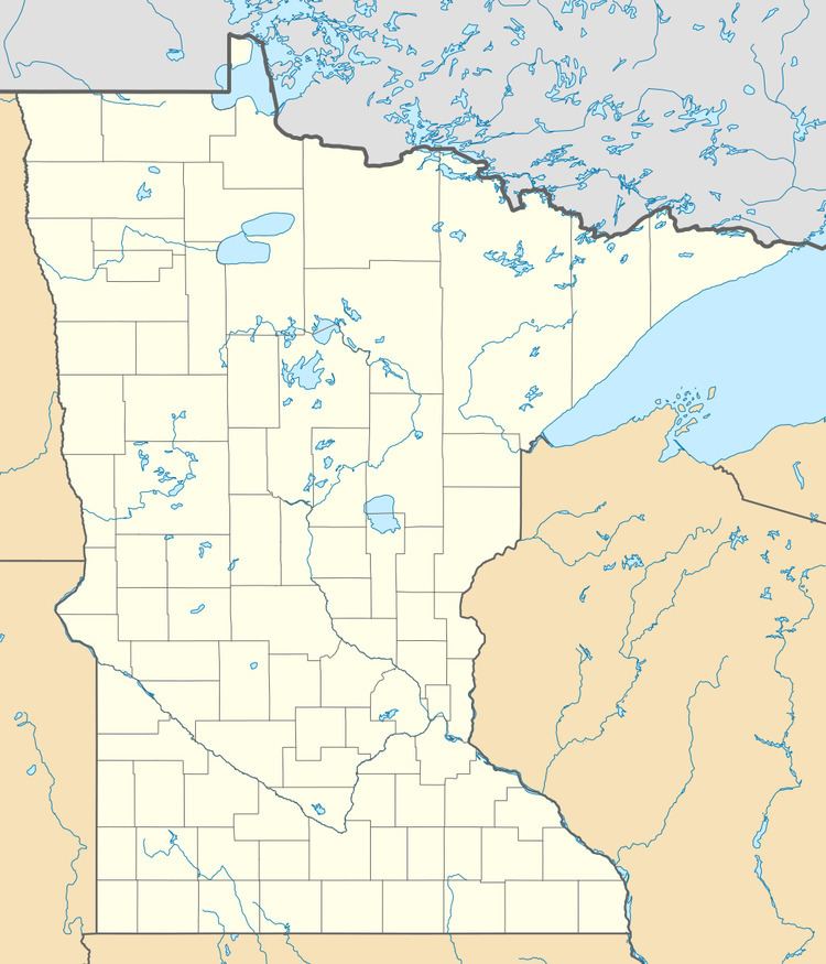
Map of Brimson, MN 55602, USA
The community is located 44 miles northeast of the city of Duluth, near the intersection of Saint Louis County Highway 44 and County Road 547 (Brimson Road). Brimson is located 27 miles northwest of the city of Two Harbors. Indian Lake and the Cloquet River are both in the vicinity.
The boundary line between Saint Louis and Lake counties is nearby.
Brimson is located within the Cloquet Valley State Forest in Saint Louis County. The Superior National Forest is also in the vicinity.
Brimson has a volunteer fire department, but it only has access to water hauled by truck since there is no public water system.
The communities of Rollins, Fairbanks, Bassett, Petrel, Toimi, and Wales are all near Brimson.
History
A post office called Brimson has been in operation since 1897. The community was named for W. H. Brimson, a railroad official.
Climate
The Köppen Climate Classification subtype for this climate is "Dfb" (Warm Summer Continental Climate).