
Country United States County Saint Louis Time zone Central (CST) (UTC-6) Elevation 457 m | State Minnesota ZIP code 55602 Local time Tuesday 1:58 PM | |
 | ||
Weather -2°C, Wind W at 13 km/h, 43% Humidity | ||
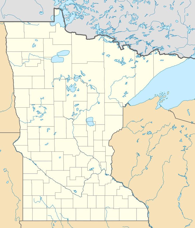
Rollins is an unincorporated community in Ault Township, Saint Louis County, Minnesota, United States.
Contents
Map of Rollins, MN 55602, USA
Geography
The community is located 41 miles northeast of the city of Duluth at the intersection of Saint Louis County Highway 44 and County Road 55 (Two Harbors–Brimson Road). Rollins is located 23 miles northwest of the city of Two Harbors. The boundary line between Lake and Saint Louis counties is nearby.
Rollins is located within the Cloquet Valley State Forest in Saint Louis County. The Cloquet River flows through the community.
History
Rollins bears the name of an early lumberman who worked in the area.
References
Rollins, Minnesota Wikipedia(Text) CC BY-SA