Local time Friday 3:06 AM | Elevation 173 m | |
 | ||
Weather 6°C, Wind NE at 5 km/h, 59% Humidity | ||
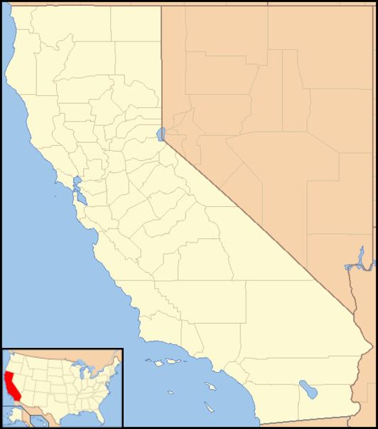
Bridgeport (also: Nyes Landing and Nye's Crossing) is a former settlement on the Yuba River in Nevada County, California, 2 mi (3.2 km) from the town of French Corral. Its elevation is 567 ft (173 m) above sea level.
Contents
Map of Bridgeport, CA 95946, USA
It is notable for the Bridgeport Covered Bridge, a national and state historic landmark, used as a pedestrian crossing over the South Yuba River. The South Yuba River State Park is adjacent.
History
In 1849, as part of the California Gold Rush, brothers Urias and Manual Nye built a trading post on the site.
References
Bridgeport, Nevada County, California Wikipedia(Text) CC BY-SA
