
County Nevada Elevation 467 m Area code 530 | State California Time zone Pacific (PST) (UTC-8) Local time Friday 12:52 AM | |
 | ||
Weather 11°C, Wind N at 3 km/h, 72% Humidity | ||
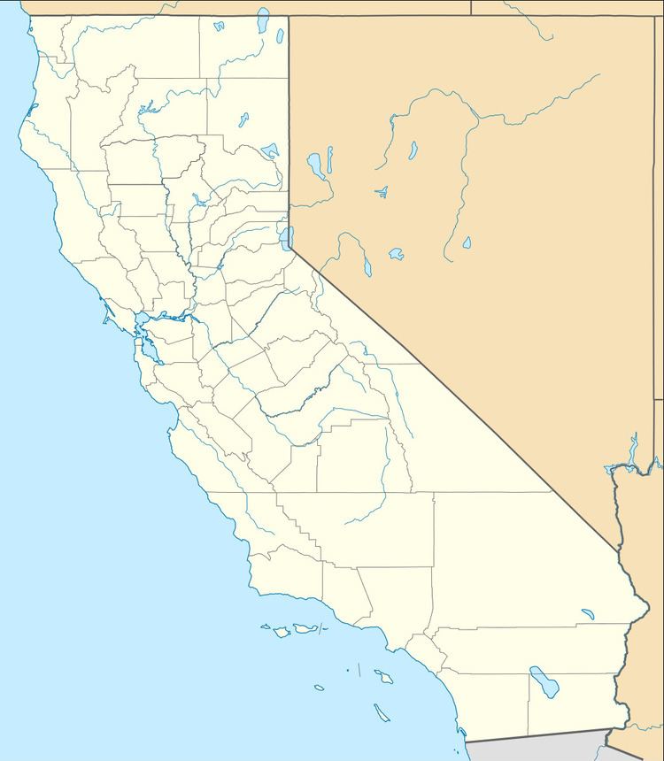
French Corral is an unincorporated community in Nevada County, California, United States, 5 miles (8.0 km) off State Route 49 via Pleasant Valley Road, and 9 miles (14 km) northwest of Nevada City.
Contents
Map of French Corral, CA 95960, USA
It was one of the first of several historic California gold rush mining camps along the San Juan Ridge. The name was literal as the town grew around a mule corral built by the first settler in the area, a Frenchman, in 1849. It had a post office during the period of 1859 through 1945.
Few original structures remain besides an old Wells Fargo Bank building.
Geography
French Corral is located at 39°18′22″N 121°09′37″W, and the elevation is 1,532 feet (467 m) above sea level.
Climate
According to the Köppen Climate Classification system, French Corral has a warm-summer Mediterranean climate, abbreviated "Csa" on climate maps.
Demographics
In 1880, the population was 527.