
Founded 1887 Area 16,037 km² | Population 9,286 (2013) | |
 | ||
Website www.brewstercountytx.com Points of interest | ||
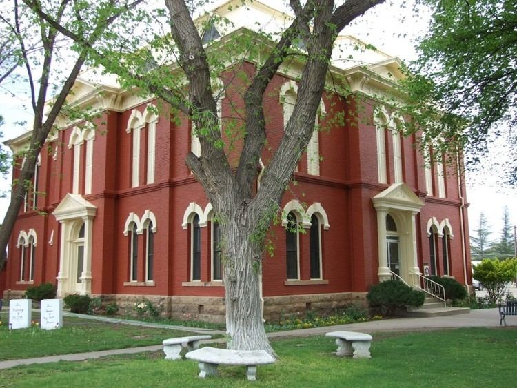
Brewster County is a county located in the western part of the U.S. state of Texas. As of the 2010 census, the population was 9,232. Its county seat and only city is Alpine. The county is named for Colonel Henry Percy Brewster, a Secretary of War for the Republic of Texas.
Contents
- Map of Brewster County TX USA
- Native Americans
- Early explorations
- County established and growth
- Population boom
- Pancho Villa and banditos
- Big Bend
- Terlingua Chili Cookoffs
- Geography
- Adjacent counties and municipios
- National protected areas
- Major highways
- Climate
- Demographics
- Education
- City
- Census designated places
- Ghost Towns
- County Sheriffs Office
- References
Map of Brewster County, TX, USA
Brewster County is the largest county by area in the state, over three times the size of the state of Delaware, and more than 500 square miles (1,300 km2) bigger than Connecticut. It is one of the nine counties that comprise the Trans-Pecos region of West Texas, and borders Mexico.
Oilman, geologist, and historian Clayton Wheat Williams, Sr., operated a ranch near Alpine in Brewster County, though his residence was in Fort Stockton.
Native Americans
Paleo-Indian hunter-gatherers existed there at least 9000 years ago. Mescalaro Apaches emerged later and conducted raids that discouraged settlers. Between 1779 and 1787, Col. Juan de Ugalde drove the Mescalaros back across the Rio Grande and into the Chisos Mountains. The three leading Mescalero chiefs, Patula Grande, Quemado, and Zapato Tuerto, agreed in March 1789 to submit to Spanish rule. Comanche raiding parties continued through much of the 19th century.
Early explorations
Spanish explorers Álvar Núñez Cabeza de Vaca in 1535 and Antonio de Espejo in 1583 crossed Brewster County on their way to La Junta de los Ríos, the junction of the Rio Grande and the Rio Conchos.
In 1684, Juan Domínguez de Mendoza camped at Kokernot Spring and wrote the earliest recorded description of it.
Pedro de Rábago y Terán, Governor of Coahuila in the 1740s, led an expedition to La Junta de los Ríos.
Northern Mexican military governor Lt. Col. Hugo Oconór led a 1772 expedition to locate sites for forts on the Comanche Trail along the Rio Grande.
In October 1851, Danish-born Col. Edvard Emil Langberg, Mexican commandant of Chihuahua, visited southern Brewster County.
Surveyor William H. Emory in 1852 sent M. T. W. Chandler to survey what is now the heart of Big Bend National Park. Chandler explored Santa Elena Canyon, the Chisos Mountains Mariscal Canyon, and Boquillas Canyon.
An 1859 expedition of the U.S. Camel Corps under 2d Lt. Edward L. Hartz explored the Comanche Trail through Persimmon Gap and down Tornillo Creek to the Rio Grande. A year later, a second camel expedition under 2d Lt. William Echols also explored along the Rio Grande.
County established and growth
Brewster County was marked off in 1887 from Presidio County and named for Henry Percy Brewster. Murphyville, later renamed Alpine, was selected as county seat.
In response to threats of ongoing Indian attacks, Camp Peña Colorado was established in 1879 a few miles south of the future site of Marathon.
Word of mouth about the open rangeland in the area was spread by freighters John W Burgess and August Santleben, leading the way for settlers.
The Galveston, Harrisburg and San Antonio Railway built through the area in 1882, opening up opportunity for entrepreneurs who came on railroad-related business and stayed.
Alfred S. Gage moved to the area in 1882 to help his brother’s ranching operation, founding the A. S. Gage Ranch, one of the largest ranching operations in Texas, in 1883. In 1927, he built the Gage Hotel in Marathon.
Legendary lawman and later Texas Rangers Hall of Fame member James B. Gillett served as sheriff of Brewster County, and operated a ranch in Alpine in the late 19th and early 20th centuries. He later retired to his Barrel Spring Ranch in Jeff Davis County.
Joseph Daniel Jackson came to the area in 1882 as part of Company B of the Texas Rangers assigned to protect the railroad. By 1882, he had settled near Alpine and taken up ranching, branching out later to merchant and civic leader. Jackson is known locally as the father of Sul Ross University due to his efforts that helped lead to the establishment of the school. Sul Ross University, named for Texas Governor Lawrence Sullivan Ross, was created by an act of the 35th Legislature in 1917 as a state normal college to train teachers.
Population boom
The population grew from 710 in 1890 to 5,220 in 1910 due for the most part to industries that relied on natural resources.
From the turn of the 20th century through World War II, the Terlingua Mining District was a boom town due to the extraction of cinnabar, a mercury ore, in the Chisos Mountains. Silver and lead from mines on the Mexican side of the river in the Boquillas area were shipped north, as were candelilla wax produced at factories at Glenn Spring and Mariscal and the guayule rubber from a factory in Marathon.
Pancho Villa and banditos
Brewster County became targeted by incursions of bandits from Mexico, due at least in part to Pancho Villa. In June 1915, Governor James E. Ferguson asked President Woodrow Wilson to station troops in the Big Bend. The request was denied by Maj. Gen. Frederick Funston, who believed such security was a state issue. Although a number of events took place to effect policy change, the tipping point was the May 5, 1916, raid at Glenn Spring. Only nine soldiers had been stationed in the area for protection against the bandits. Estimates vary as to the number of Mexican raiders who attacked the soldiers, from 60 to several hundred. The raid caused a larger military presence in the area. President Wilson mobilized the National Guard to reinforce the Army, and by the end of 1916, an estimated 116,957 guardsmen were stationed along the border from California to Texas. As the mines and wax factories played out after World War I, raiders from across the border abated.
During the 1918 influenza epidemic, an African American nurse (Viola Pettus) living in the border area of Brewster County became legendary for her courageous and selfless treatment of anyone with the disease – including raiders and refugees from Mexico, and local members of the Ku Klux Klan.
Big Bend
Big Bend National Park was established as a state park in 1933 by the state legislature, and expanded the same year by Governor Miriam A. Ferguson. In 1935, the United States Congress passed legislation founding it as a national park. Big Bend opened to the public in 1944.
Big Bend Ranch State Park opened to the public in 1991; at 300,000 acres (1,200 km2), it is the largest state park in Texas.
Terlingua Chili Cookoffs
Terlingua produced 40% of the nation’s quicksilver in 1920, but declining population has since qualified it as a ghost town. In 1962, The Dallas Morning News columnist Francis X. Tolbert published his ode to chili Bowl of Red and founded the Chili Appreciation Society. Fellow columnist Wick Fowler joined in the fun and became a charter member. The World Championship Chili Cookoff at Terlingua began as a tongue-in-cheek challenge between Wick Fowler and humorist H. Allen Smith in 1967 and has become a November tradition, celebrated across the state and nation. The first Saturday in November, Terlingua now hosts two competing international chili championships: the Terlingua International Chili Championship, and the Original Terlingua International Chili Cookoff.
Geography
According to the U.S. Census Bureau, the county has a total area of 6,192 square miles (16,040 km2), of which 6,184 square miles (16,020 km2) is land and 8.5 square miles (22 km2) (0.1%) is covered by water. It is the largest county in Texas by area. The only substantial water is half the width of the Rio Grande.
The county's area is larger than the area of Connecticut, Delaware, and Rhode Island individually, and larger than the combined area of Delaware and Rhode Island.
The Roadian Age of the Permian Period of geological time is named for rock strata in Road Canyon in the north of Brewster County.
The Wordian Age of the Permian Period is probably named for the Word Ranch in the Glass Mountains of Brewster County.
Adjacent counties and municipios
National protected areas
Major highways
U.S. Highway 90 crosses the county in the north; U.S. Highway 385 enters Brewster County from the northeast and proceeds south to the county's main attraction, Big Bend National Park, part of the Big Bend. The Sunset Route of the Union Pacific Railroad crosses northern parts of the county, and a recently revived portion of the Kansas City, Mexico and Orient Railway traverses the county en route to Presidio.
Climate
Approximately 39.4% of Brewster County is classified as having a hot arid desert climate (Köppen BWh). The remainder has a semi-arid steppe climate with 32.1% experiencing a cold steppe climate (Köppen BSk) while 28.5% is assigned as a hot steppe climate (Köppen BSh). Temperatures are coolest and rainfall most abundant in the county's northern highlands and in the upper elevations of the Chisos Mountains in the south. In the southern lowlands along the Rio Grande, snowfall is uncommon, rainfall much reduced, and summer high temperatures can be extreme. Throughout the county, precipitation occurs mostly from May through October with the remainder of the year predominantly is dry.
Demographics
As of the 2010 United States Census, 9,232 people resided in the county; 86.6% were White, 1.1% Black or African American, 1.1% Native American, 0.7% Asian, 0.1% Pacific Islander, 7.6% of some other race and 2.8% of two or more races. About 42.4% were Hispanic or Latino (of any race).
As of the census of 2000, 8,866 people, 3,669 households, and 2,216 families resided in the county. The population density was 1 person per square mile (1/km²). The 4,614 housing units averaged 1 per square mile (0/km²). The racial makeup of the county was 81.09% White, 1.22% Black or African American, 0.85%, 0.37% Asian], 0.06% Pacific Islander, 13.44% from other races, and 2.98% from two or more races. About 43.6% of the population were Hispanics or Latinos of any race.
Of the 3,669 households, 26.60% had children under the age of 18 living with them, 46.70% were married couples living together, 10.00% had a female householder with no husband present, and 39.60% were not families. About 32.8% of all households were made up of individuals, and 11.40% had someone living alone who was 65 years of age or older. The average household size was 2.31 and the average family size was 2.96. As of the 2010 census, about 8.3 same-sex couples per 1,000 households were in the county.
In the county, the population was distributed as ith 22.20% under the age of 18, 14.80% from 18 to 24, 24.50% from 25 to 44, 23.90% from 45 to 64, and 14.60% who were 65 years of age or older. The median age was 36 years. For every 100 females, there were 99.00 males. For every 100 females age 18 and over, there were 98.40 males.
The median income for a household in the county was $27,386, and for a family was $33,962. Males had a median income of $26,934 versus $21,250 for females. The per capita income for the county was $15,183. About 12.60% of families and 18.20% of the population were below the poverty line, including 20.80% of those under age 18 and 13.00% of those age 65 or over.
Education
These school districts serve Brewster County:
In addition, Sul Ross State University is located in Alpine.