
Country United States FIPS code 48-70688 | Time zone Central (CST) (UTC-6) Area 12.3 km² | |
 | ||
Study butte texas mercury mine
Study Butte (/ˈstjuːdi ˌbjuːt/ STEW-dee BEWT) is a census-designated place (CDP) in Brewster County, Texas, United States. The population was 233 at the 2010 census. At the 2000 census, the area was part of the Study Butte-Terlingua CDP.
Contents
Study butte texas
Geography
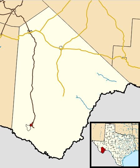
Study Butte is located at 29°19′29″N 103°31′44″W in southern Brewster County. The Terlingua CDP borders Study Butte to the southwest. Texas State Highway 118 passes through Study Butte and leads 3.7 miles (6.0 km) southeast to the west entrance to Big Bend National Park and 78 miles (126 km) north to the city of Alpine.
According to the United States Census Bureau, the Study Butte CDP has a total area of 4.7 square miles (12.3 km2), all of it land.
Climate
This area has a large amount of sunshine year round due to its stable descending air and high pressure. According to the Köppen Climate Classification system, Study Butte-Terlingua has a mild desert climate, abbreviated "Bwh" on climate maps.
Education
Study Butte is served by the Terlingua Common School District. The schools are Terlingua School and Big Bend High School.