
Length 16 km (9.9 mi) Highest elevation 889 m (2,917 ft) County Sogn og Fjordane Area 131 km² | Width 23 km (14.3 mi) Highest point Svartevassegga Elevation 889 m | |
 | ||
Location Sogn og Fjordane, Norway | ||
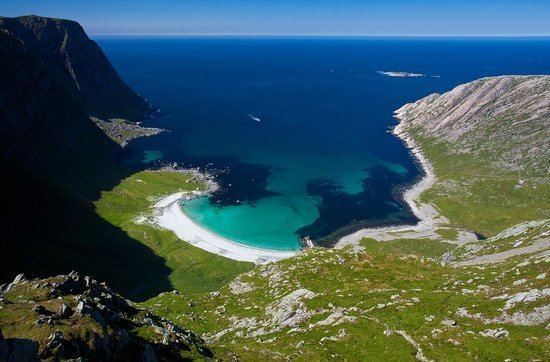
Bremangerlandet is an island in Bremanger Municipality in the traditional district of Nordfjord in Sogn og Fjordane county, Norway. The 153-square-kilometre (59 sq mi) island is the largest island in the county. The highest point on the island is the 889-metre (2,917 ft) tall mountain Svartevassegga, however the cliff at Hornelen, located 1 kilometre (0.62 mi) to the east, is more well-known and has an elevation of 860 metres (2,820 ft). The 4-kilometre (2.5 mi) long lake Dalevatnet is located in the central part of the island.
Contents
Map of Bremangerlandet, Bremanger Municipality, Norway
The island is located northeast of the smaller island of Frøya. Bremangerlandet island lies on the southern side of the mouth of the large Nordfjorden and the island of Vågsøy lies on the north side of the fjord's mouth. The small island of Husevågøy lies in the middle of the fjord, just north of Bremangerlandet. The island is connected to the island of Frøya (to the southwest) by a series of bridges. There is a ferry connection to Husevågøy and Vågsøy islands to the north. There is also a road that connects Bremangerlandet to the island of Rugsundøya by the Skatestraum Tunnel (and then Rugsundøya connects to the mainland via a bridge). To the southeast, the island is separated from the mainland by the Frøysjøen strait.
The main population center on the island is the village of Bremanger, where Bremanger Church is located. The 0.65-square-kilometre (160-acre) village has a population (2012) of 366, giving the village a population density of 563 inhabitants per square kilometre (1,460/sq mi). The village of Berle is located on the eastern side of the island, and it is home to Berle Church.
Name
The meaning of the name is "the (is)land of (the parish) Bremanger". The original name of the island must however have been Smöls. In Norse literature is the mountain Hornelen called Smalsarhorn, which means "the horn of (the island) Smöls". The old name is related to the word möl which means "bank made of stones and gravel". (For the missing s see the Indo-European s-mobile.)