
Area 9.2 km (3.6 sq mi) Width 2.6 km (1.62 mi) Highest point Krabbestigheida | Length 6.4 km (3.98 mi) Highest elevation 330 m (1,080 ft) Elevation 330 m | |
 | ||
Location Sogn og Fjordane, Norway | ||
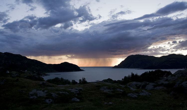
Husevågøy is an island in Vågsøy Municipality in Sogn og Fjordane county, Norway. The 9.1-square-kilometre (3.5 sq mi) island is mountainous with few trees. The island lies in the mouth of the Nordfjorden, between the islands of Vågsøy and Bremangerlandet. In 2001, there were about 30 residents on the island. There is a car ferry that runs from the town of Måløy on Vågsøy island (to the north) to Husevågøy and then on to Oldeide on Bremangerlandet (to the south).
Map of Husev%C3%A5g%C3%B8y, V%C3%A5gs%C3%B8y, Norway
Historically, the island was part of the old municipality of Davik. In 1964, Husevågøy and several small surrounding islands were transferred to Vågsøy Municipality.
References
Husevågøy Wikipedia(Text) CC BY-SA