
Time zone IST (UTC+5:30) Area code 0820 | PIN 576213 | |
 | ||
Weather 30°C, Wind W at 5 km/h, 43% Humidity | ||
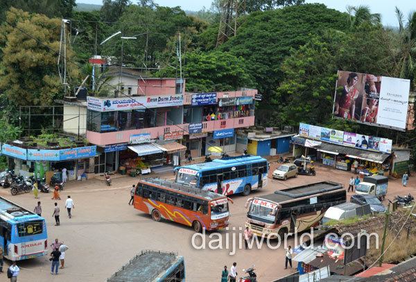
Brahmavar bustand 1 avi
Brahmavara (Kannada: ಬ್ರಹ್ಮಾವರ) is a main road town on NH 66 (formerly NH 17), located 13 kilometres (8.1 mi) north of the Udupi in Karnataka, India. It has been mentioned "Lord Brahma's Vara or Ajapura". It is an ancient cultural centre of the Coastal Karnataka being adjacent to Barkur.
Contents
- Brahmavar bustand 1 avi
- Udupi namo wave in brahmavar 101 modis march in support
- Location
- History
- Population
- Transportation
- Rivers
- Places of worship
- Educational institutions
- Other places of interest
- Distance from Brahmavar
- References
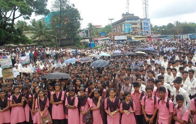
Udupi namo wave in brahmavar 101 modis march in support
Location
Brahmavara lies about 68 kilometres (40 mi) north of Mangalore. Brahmavara is situated about 13 kilometres (10 mi) north of Udupi on the National highway NH 66 (formerly NH 17). River Suvarna and Sita flow around Brahmavara. These rivers originate from Western Ghats and form backwaters around Brahmavara before joining Arabian Sea near Hangarkatte.
Brahmavara is surrounded by several villages such as Handadi, Baikady, Matpadi, Kunjal, Kumragod, Salikeri, Haradi and Matapadi. Barkur lies north to Brahmavara and Temple city Udupi lies to the south.
History
It is believed that the Mahalinga temple was constructed in the 9th century AD. The wall of the temple is built on the laterite stones. There is an image of Gaja-Gowri, which has been kept in Navaranga, which perhaps belongs to the Hoysala period. It is holding Ankusha and Pasha in the upper hand and Padma (lotus) in right lower, and the left lower hand in the abhaya pose. Handadi near Brahmavar was the settlement of the Hande family, a family of Aryan Brahmins from Northern India. Gopinatha temple is mentioned in an inscription that it is the third temple. The image of the presiding deity is of Hoysala workmanship.
Population
Population of Brahmavara is about 31,203. The majority of the population of Brahmavara is Hindu. Christians and Muslim community make up rest of the population.
Transportation
Brahmavara situated on NH 66 (formerly NH 17) is directly connected by bus service from Udupi on the Mangalore-Udupi-Kundapura line. Bus service is also available to most places within Udupi district and to Bengaluru, Mumbai, Mangaluru, Goa and other nearby districts. Lots of buses are plying from Kundapura to Udupi and Kundapura to Mangaluru. Kannada, Tulu, Konkani, Byari, Urdu are the local languages spoken among the different communities.
The nearest railway station for local trains is in Barkur and for long distance trains is in Udupi.
Rivers
The town of Brahmavara is sandwiched between the Sita and Suvarna rivers which originate from the Western Ghats. They join the Arabian Sea a few kilometers from Brahmavara. The rivers form beautiful backwaters around Brahmavara. Tourists can cruise the backwaters on local country boats.