
 | ||
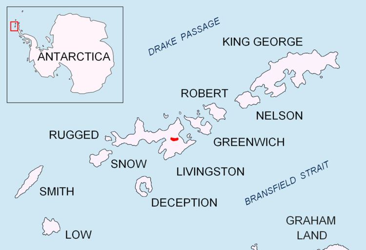
Bowles West Peak (Vrah Zapaden Bowles \'vr&h 'za-pa-den 'bOls) is a peak rising to 678 m at the western extremity of Bowles Ridge in eastern Livingston Island in Antarctica. The peak has precipitous and partly ice free western slopes and overlooks Perunika Glacier to the southwest.
Contents
Map of Bowles West Peak, Antarctica
The feature takes its name from Mount Bowles, the summit of the eponymous ridge.
Location
The peak is located at 62°36′47.5″S 60°13′13″W which is 1 km west by north of Mount Bowles (822 m), 790 m south by east of Hemus Peak, 6.24 km east of Aleko Rock and 3.2 km east by northeast of Rezen Knoll.
The peak was roughly mapped by the British in 1968 and the Spanish in 1991. The peak was mapped by Bulgaria from a 1995-96 topographic survey.
Maps
References
Bowles West Peak Wikipedia(Text) CC BY-SA