
Time zone CET (UTC+1) Website www.borne.nl Elevation 15 m Area code 074 | Demonym(s) Bornenaar, Borrenaar Postcode 7620–7626 Area 26.17 km² Local time Thursday 3:45 PM | |
 | ||
Weather 6°C, Wind SW at 23 km/h, 86% Humidity | ||
Borne ( [ˈbɔrnə]) is a municipality and a town in the eastern Netherlands. Its inhabitants also have the nickname Melbuul (flourbag in Twentsch). Borne is the sister city of the German town Rheine.
Contents
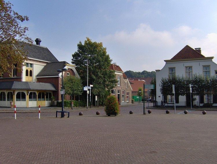
Map of Borne, Netherlands
History
The earliest traces of inhabitation in Borne are archeological finds at the "Stroom Esch" and "Zuid Esch" of substantial settlements dating from the late Iron Age and the Roman period. Finds from around 800 CE., the remains of two farmhouses and the grave of a man buried with his armour, a sword, lance and 16 silver dinarii coined by Charlemagne near two farmhouses of the same age suggest inhabitation in the ninth century. The first historical mention of Borne, under the name Borghende dates from 1206 in a document which transfers churches in Steenwijk and Borne and their possessions by Fredericus, the abbot of the monastery in Ruinen to the bishop of Utrecht, Dirk van Are in return for possessions in Drenthe.
The earliest phases of Borne center around the Meijershof, which came into possession of the abbot of Ruinen in 1142.
Until the beginning of the industrial age, Borne was an agricultural community, characterised by plaggen soil and extensive cattlefarming. The main crops were rye and buckwheat. Several landweren, defensive earthworks consisting or earthen walls overgrown with blackthorn (Prunus spinosa) and blackberries are still visible in the landscape.
Borne was originally the richterambt (judicial district) Borne, made up of the Marke Senderen (Zenderen) and Bi den Broeke (lit. "by the brook", Bornerbroek) and the hamlet of Hertme. In 1655 Hertme has evolved into an independent marke.
Population centres
Bornerbroek, historically part of Borne, is since 2001 part of the Almelo municipality. Borne borders the municipalities of Hengelo, Hof van Twente, Dinkelland, Almelo and Tubbergen.
Dutch Topographic map of the municipality of Borne, June 2015.