
Area code 0541, 0546 Area 147.4 km² Local time Sunday 6:30 AM | Time zone CET (UTC+1) Website www.tubbergen.nl Elevation 22 m | |
 | ||
Demonym(s) Tubbergenaar, Tubberger Postcode 7614–7619, 7650–7669, 7679 Weather 5°C, Wind E at 11 km/h, 89% Humidity | ||
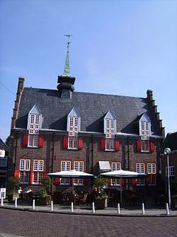
Tubbergen ['tʏbɛrɣə(n)] ( pronunciation ) is a municipality and a town in the eastern Netherlands.
Contents
Map of Tubbergen, Netherlands
Population centres
Dutch Topographic map of the municipality of Tubbergen, June 2015
Religion
Tubbergen is a municipality in the Netherlands. Church attendance at regular Sundays is pretty substantial. The municipality has a high birth rate and the lowest divorce rate in the Netherlands. Politically, Tubbergen has the largest share of CDA voters (66,59%)
2009 crime survey
According to the 2009 survey by the Algemeen Dagblad, Tubbergen has the lowest crime rate of all municipalities in the Netherlands. According to the mayor, this is primarily because there exists a strong sense of community in Tubbergen.
References
Tubbergen Wikipedia(Text) CC BY-SA