
Time zone CET (UTC+1) Website www.dinkelland.nl Team KOSC | Elevation 26 m (85 ft) Area code 0541, 074 Area 176.8 km² Local time Wednesday 12:04 AM | |
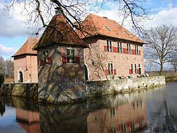 | ||
Postcode Parts of 7500 and 7600 ranges Weather 3°C, Wind S at 3 km/h, 100% Humidity Points of interest Singraven, Openluchtmuseum Ootmarsum, Ton Schulten Museum, Huis Singraven, Museum Chronomium | ||
Dinkelland ( pronunciation ) is a municipality in the eastern Netherlands. For a short time it was known as Denekamp (one of its component towns) until it was renamed in 2002.
Contents
Map of Dinkelland, Netherlands
Population centres
Dutch Topographic map of the municipality of Dinkelland, June 2015.
References
Dinkelland Wikipedia(Text) CC BY-SA