
 | ||
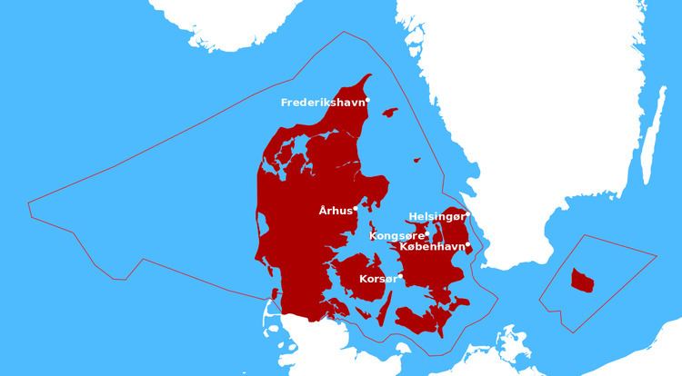
Denmark has existed with its current borders since 1921. The only terrestrial border of Denmark is that with Germany, with a length of 68 km. The border along the territorial waters (12 nautical miles zone) with Sweden runs along the Øresund for a length of about 115 km.
Contents
The exclusive economic zone (EEZ, 200 nautical miles zone) of Denmark borders those of Germany, the Netherlands, Poland, the United Kingdom, Sweden, Norway, Iceland and Canada.
History
Sweden and Denmark–Norway became separate countries with the breakup of the Kalmar Union in 1523. Until 1658, the historic provinces of Skåne, Blekinge and Bohuslän (and until 1645 also Halland) belonged to Denmark, so that the Denmark–Sweden border ran across what is now southern Sweden. In 1645 and 1658 respectively, these provinces were ceded to Sweden in the Treaty of Roskilde, establishing the Øresund as national boundary. The modern Norway–Sweden border remained the border between Denmark–Norway and Sweden until the breakup of Denmark and Norway in 1814. Under the Treaty of Kiel, Denmark retained possession of Greenland and Faroer.
The Schleswig-Holstein Question became virulent in the context of the German unification during the 19th century. Following the Second Schleswig War, the terms of Treaty of Vienna (1864) gave Schleswig to Prussia, after 1866 as the Province of Schleswig-Holstein. Following the German defeat in World War I, the Schleswig plebiscites of 1920 resulted in a partition of Schleswig, establishing the current German-Danish border, effective in 1921. Denmark was under German occupation from 1940 to 1943.
The Nordic Passport Union of 1958 removed passport checks at the borders between Nordic countries. However, custom checks remained in force between Denmark and other Nordic countries until the Schengen acquis of 2001. With the European migrant crisis, Sweden re-introduced stricter border controls in November 2015. Since 4 January 2016, Sweden has required carriers to perform identity checks on the Danish side of the Denmark–Sweden border, while still keeping the border controls on the Swedish side. As a reaction to the Swedish control, Denmark also strengthened its border controls at the German border.
Geography
The Denmark–Germany border extends for 68 km between Schleswig-Holstein and South Jutland County.
The territorial waters (12 nautical miles) of Denmark form a border with Sweden along the Øresund, extending to 115 km.
The border between the Danish and Norwegian EEZ runs along the Skagerrak, between Faroer and Norway in the North Sea and between Greenland and Norwegian Svalbard in the Arctic.
The border between Danish and Icelandic EEZ runs along the Denmark Strait between Iceland and Greenland, and between Iceland and Faroer.
Hans Island, an island in Nares Strait, is the subject of a territorial dispute between Denmark and Canada.