
 | ||
The Norway–Sweden border (Norwegian: Svenskegrensa, Swedish: Norska gränsen) is a 1,630-kilometre (1,010 mi) long land national border, and the longest border for both Norway and Sweden.
Contents
- History
- Geography
- Control
- Road border crossings
- Railway border crossings
- Riksrsen
- Biological exchange
- References
History
The border was changed several times because of war. Before 1645, Jämtland, Härjedalen, Idre/Särna parish, and Bohuslän belonged to Norway. The border changes were defined in the Treaty of Brömsebro (1645), the Treaty of Roskilde (1658) and the Treaty of Copenhagen (1660).
In 1751 a treaty was signed in Strömstad, defining the border based on field investigations and negotiations done 1738-1751. The border was based on knowledge among local people, mainly which farm belonged to which parish and which parish to which diocese. In the unpopulated mountains, the border mainly followed the water divide. There were disagreements on the parishes of Särna, Idre, Lierne, Kautokeino and Karasjok, which had to be solved by give-and-take. Based on that, in 1752-1765 border cairns were erected between Norway and Sweden including Finland, which mostly remain today.
After the Treaty of Kiel and the Convention of Moss (1814) the union between Sweden and Norway was established, and the Norway–Sweden border became a border between two union partners. In the Negotiations in Karlstad which led up to the dissolution of the union in 1905, Norway was obliged to tear down several fortresses along the border.
Geography
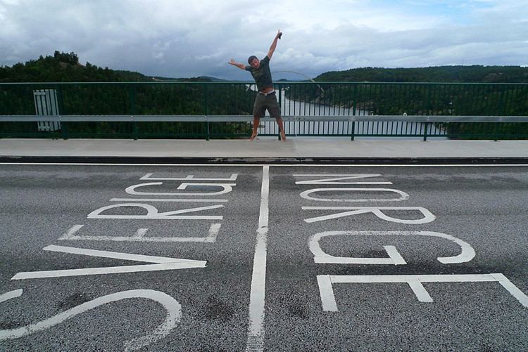
Most of the border follows the drainage divide in the Scandinavian Mountains. In Norway, the border lies along the counties, from south to north, of Østfold, Akershus, Hedmark, Sør-Trøndelag, Nord-Trøndelag, Nordland and Troms. In Sweden, the border lies along the counties, from south to north, of Västra Götaland, Värmland, Dalarna, Jämtland, Västerbotten and Norrbotten. The northernmost border point is Treriksröset (Swedish) or Treriksrøysa (Norwegian), which is also a border to Finland.
During World War II, when Norway was occupied by Germany and Sweden was neutral, many Norwegians became refugees and were transported or fled over the border. The regulation of Norwegian immigrants was strict between 1940 and 1941; several would-be-refugees were declined.
Control
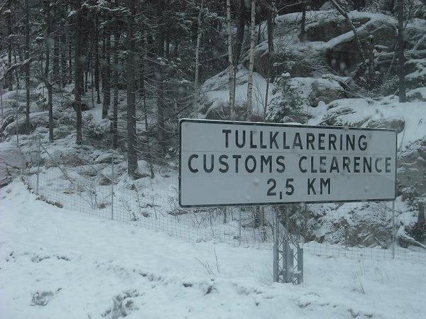
Both countries are members of the Schengen Area, and there are therefore no immigration controls. However, only Sweden is part of the European Union, so there are customs checks. These are performed by the Norwegian Customs and Excise Authorities and the Swedish Customs Service. These checks are sporadic along the Norway–Sweden border. Cars are usually not forced to stop. To combat drug smuggling, the use of CCTV surveillance has recently been increased, with systems using Automatic number plate recognition being rolled-out in 2016 and 2017.
Both Norway and Sweden emphasise checks against other countries. For flights and ferries between the two countries, there are no formal passport checks at airport and ferry ports, but identity cards are needed to board.
Before 2001, the countries were not part of the Schengen Area. There was even then no passport check. Passengers were led to the passport control at international airports, but could pass simply by showing the ticket and/or speaking and looking Scandinavian. There were more road customs stations then, some have been closed for cost reasons.
Road border crossings
There are customs control stations at the following places (from north to south):
For most border crossings there is one customs station on one side of the border, but for some on both sides, one for each direction. A treaty gives the customs officers of one country the right to carry out clearance and checks for both countries.
There are many more roads crossing the border, without customs station (most notably E16), but they are not allowed to use if having goods needing declaration, and never for heavy trucks. They are surveilled by video and temporary checks.
Railway border crossings
There are four railway crossings. All four serve both passenger and freight trains. All border stations except Kornsjø Station are located in Sweden.
Riksrösen
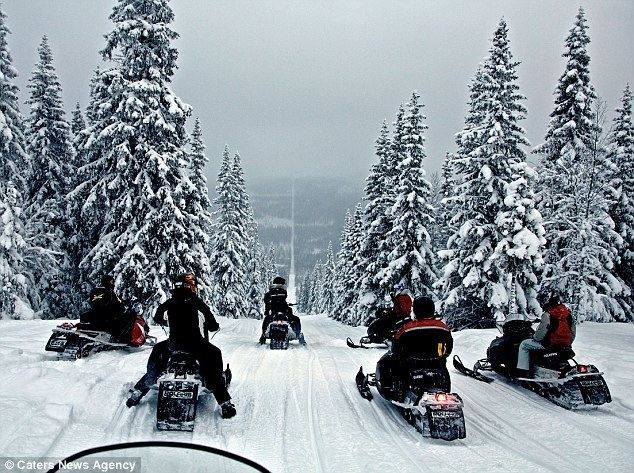
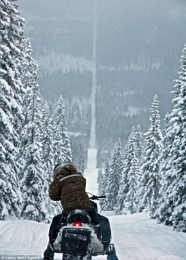
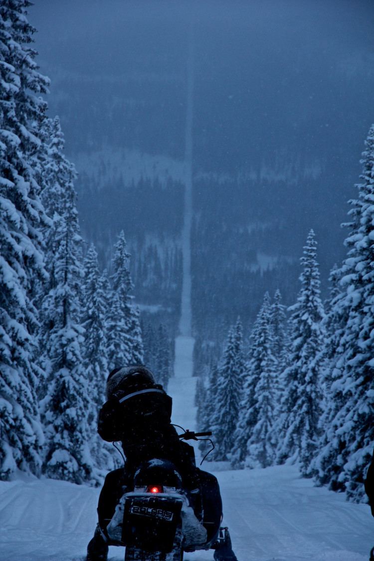
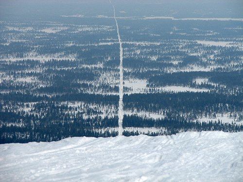
Stone cairns, known as the Riksrösen, mark many parts of the border.
Biological exchange
Animals, notably wolves and brown bear, have been known to wander across the border. Reflecting the fact that the population is shared, a Norwegian–Swedish research project named Skandulv was founded in 2000, and is administered by the Norwegian Institute for Nature Research, Hedmark University College and the Swedish University of Agricultural Sciences.