
Waterbodies Wellington Reservoir Basin area 3,745 km² Country Australia | Length 154 km | |
 | ||
Main source Darling Range207 metres (679 ft) River mouth Leschenault Estuarysea level Basin size 374,500 hectares (925,410 acres) Similar Wellington Dam Hydro Power St, Leschenault Estuary, Hay River, Kalgan River, Murchison River | ||
The Collie River is a river in the South West region of Western Australia.
Contents
Map of Collie River, Western Australia, Australia
The Collie River was named by Lieutenant Governor Stirling after Dr Alexander Collie who, along with Lieutenant William Preston, in November 1829 was the first European to explore the river.
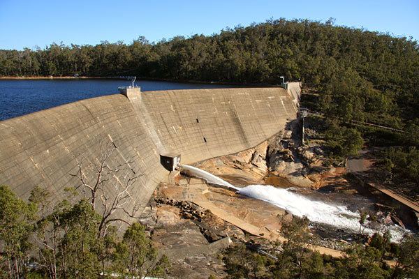
The Collie River Catchment is located in the south-west of Western Australia, it covers over 3,000 km² and includes the Wellington Reservoir. For Western Australia's growing population the reservoir is considered a valuable resource, but the water is too salty for drinking. The Waters and Rivers Commission has a target of reducing the salinity of the river water to 500 mg/L by 2015 as a part of the State Salinity Strategy.
Tributaries
There are many tributaries of the Collie river including Collie River East, Collie River South, Bingham river, Brunswick River, Gervase river, Hamilton river, Harris river, Ironstone Gully, Silver Wattle Gully, Worsley River, Riches Gully and Mill Brook.