
Population 499 (2011 census) Civil parish Bolton-by-Bowland Local time Monday 12:14 PM | OS grid reference SD785495 Sovereign state United Kingdom Dialling code 01200 | |
 | ||
Weather 9°C, Wind W at 21 km/h, 68% Humidity | ||
Bolton-by-Bowland is a village and civil parish in the Ribble Valley district of Lancashire, England. Before 1974, the village was part of Bowland Rural District in the West Riding of Yorkshire.
Contents
Map of Bolton by Bowland, Clitheroe, UK
In medieval times, it was known as Bolton-in-Bowland, reflecting the shifting boundaries of the ancient Forest of Bowland on whose south-east flank the village sits. The manor of Bolton-by-Bowland, however, was not included within the Lordship of Bowland, being a part of the Percy family fee from earliest times.
The village is on the Tosside Beck, near its confluence with the River Ribble. The Beck has for many centuries marked the boundary between Bowland and Craven.
The village has a car park, toilet facilities and a tourist information centre, is the starting point for many of the area's walks. According to the 2001 census, it had a population of 498, rising marginally to 499 at the 2011 Census.
Along with Bowland Forest Low, Slaidburn, Newton-in-Bowland, and Easington, the parish forms the Bowland, Newton and Slaidburn ward of Ribble Valley Borough Council.
Pubs
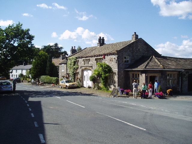
The village also has two pubs, the first, the Coach and Horses is situated in the middle of the village and is the centre of village life. The second, The Copy Nook, is a bar and restaurant and is situated a short distance from the centre of the village.