
Topo map USGS Dome Hill Country United States of America | Elevation 2,871 m District Condado de Mono | |
 | ||
Similar Bodie State Historic Park, Sweetwater Mountains, Mono–Inyo Craters, Mono Lake, Conway Summit | ||
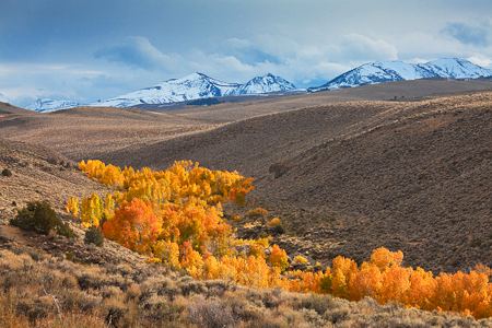
The Bodie Hills are a low mountain range in Mono County, California, is where the mining district and town of Bodie, California is located. The Hills are between Bridgeport and the Nevada border, where they become the Bodie Mountains in Mineral County, Nevada. The Sierra Nevada (U.S.) Range towers to the west.
Contents
Map of Bodie Hills, California 93517, USA
Early Native American peoples of the Mono tribe and Northern Paiute people inhabited this locale and engaged in trade with distant coastal tribes such as the Chumash in Southern California.
Bodie State Historic Park
The mining town of Bodie, California is now in Bodie State Historic Park, a preserved ghost town, designated a National Historic Landmark and a park within the California Department of Parks and Recreation system in 1963 for public touring. Roads to Bodie and it beyond allow ease of exploring the Bodie Mountains.