Country Germany Time zone CET/CEST (UTC+1/+2) Area 13.82 km² Local time Monday 12:30 AM Dialling code 07471 | District Tübingen Postal codes 72411 Population 5,786 (31 Dec 2008) Postal code 72411 Administrative region Tübingen | |
 | ||
Weather 6°C, Wind SW at 26 km/h, 75% Humidity | ||
Bodelshausen is a municipality in the district of Tübingen in the German state of Baden-Württemberg.
Contents
- Map of Bodelshausen Germany
- Geographical Area
- Neighboring municipalities and towns
- History
- Mayor
- Sister municipalities
- Traffic
- References
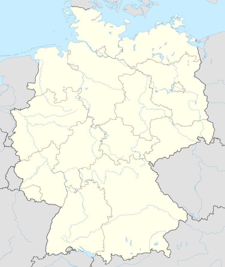
Map of Bodelshausen, Germany
Geographical Area
Bodelshausen is situated southern of the Rammert forest near the town of Hechingen.
Neighboring municipalities and towns
Rottenburg am Neckar, Ofterdingen, Mössingen, Hechingen ¹ and Hirrlingen
History
The oldest historical documents date back to 1100.
Mayor
The mayor is elected for 8 years. Mayor Bernd-Dieter Esslinger's term ended in 2006. Since 2006, Uwe Ganzenmüller holds the office.
Sister municipalities
Bodelshausen maintains friendly relationships with:
Traffic
The federal highway 27 connects the town with Tübingen and Stuttgart, as well as Balingen and Rottweil.
References
Bodelshausen Wikipedia(Text) CC BY-SA
