
Population Uninhabited | ||
 | ||
Boatin Island (Bulgarian: остров Боатин, ‘Ostrov Boatin’ \'os-trov bo-a-'tin) is the rocky island off the northwest coast of Robert Island in the South Shetland Islands extending 740 m in north-south direction and 150 m wide. It ends in the T-shaped 250 m wide Hammer Point to the north, and connected to Robert Island to the south by a 250 m long moraine tombolo. The feature was formed as a result of the retreat of Robert Island’s ice cap during the first decade of 21st century. The area was visited by early 19th century sealers.
Contents
Map of Boatin Island, Antarctica
Location
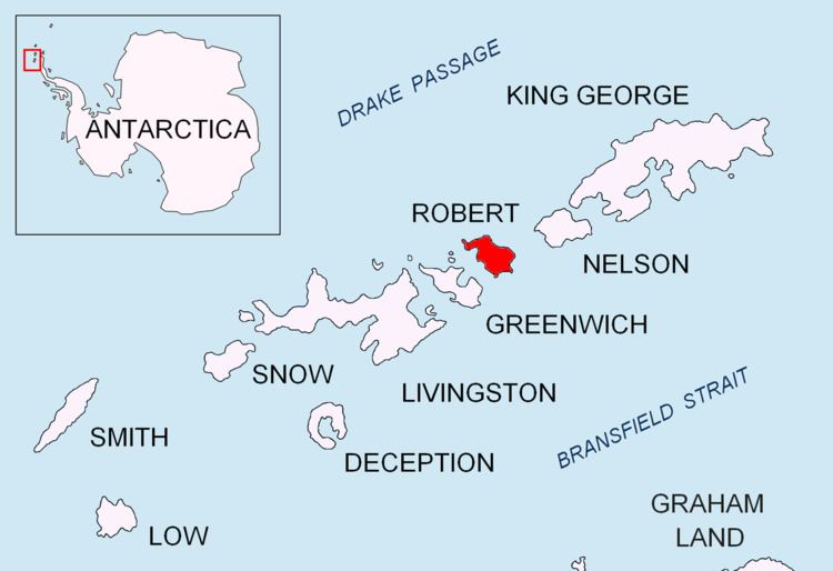
Boatin Island lies between Clothier Harbour and Nevestino Cove at 62°20′32.7″S 59°38′55″W.
Maps
References
Boatin Island Wikipedia(Text) CC BY-SA