
- elevation 217 m (712 ft) | - elevation 400 m (1,312 ft) Length 300 km | |
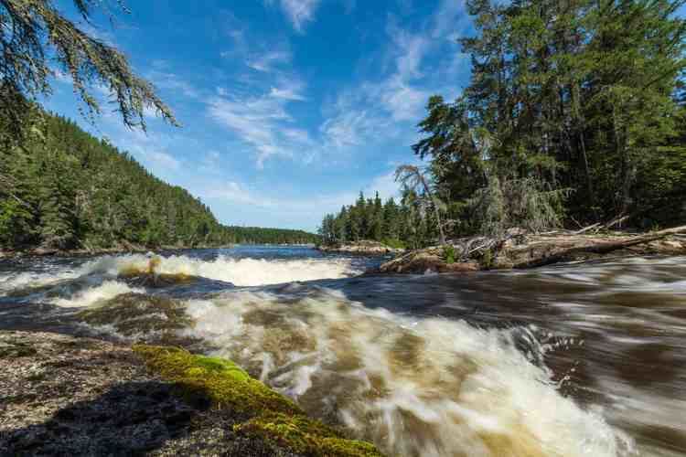 | ||
Bloodvein river 2014 kandalore
The Bloodvein River is a river in Canada. It flows west from northwest Ontario to the east side of Lake Winnipeg in Manitoba through the boreal forests of the Canadian Shield. It is around 300 kilometres (190 mi) long.
Contents
- Bloodvein river 2014 kandalore
- Map of Bloodvein River Manitoba Canada
- Bloodvein river adventure day 1
- Fish species
- References
Map of Bloodvein River, Manitoba, Canada
First Nation peoples have used the river for centuries, and their petroglyphs and rock paintings can be found on some shoreline cliffs. The river along with many other rivers on the east side of Lake Winnipeg is part of a unique wilderness area untouched by major developments such as logging roads, mines, or dams.
The Bloodvein River became Manitoba's first Canadian Heritage River in 1987 and most of the river is within Atikaki Provincial Park and the Woodland Caribou Provincial Park in Ontario. It is included on Canada's Tentative List for World Heritage sites and has the potential of being part of a United Nations World Heritage Site.
The First Nation community of Bloodvein situated at the mouth is the only major community along the river. The community is served by the Bloodvein River Airport.
Before the winter road was created, besides air, access to the community was only by the ferry the HMV Edgar Wood.
Bloodvein river adventure day 1
Fish species
Northern pike, walleye, channel catfish, whitefish, lake trout, sturgeon (catch and release only), chestnut lamprey